
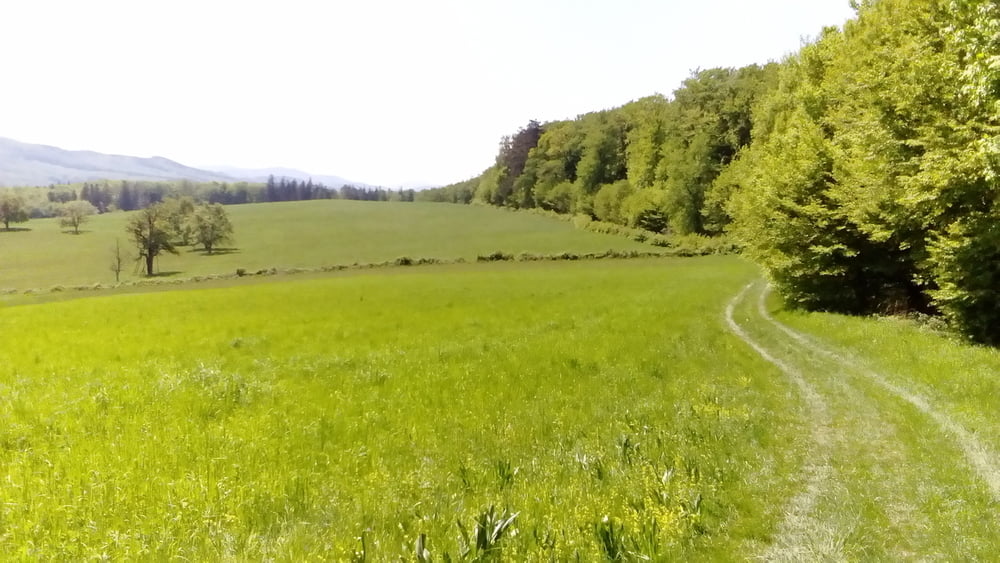

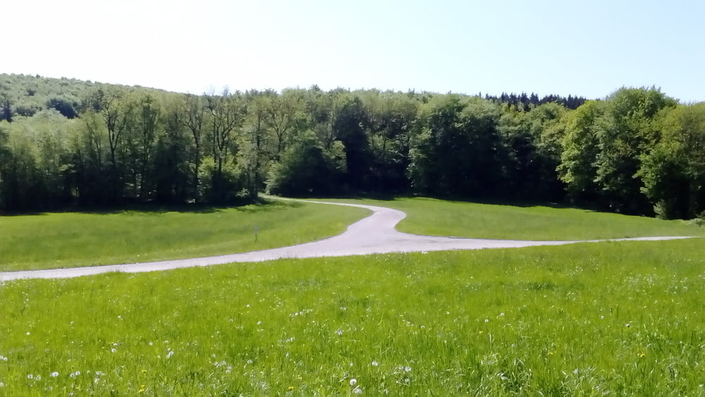
Gute Runde, allerdings sollte man diese Tour in einer Trockenperiode machen!
Heute war es ziemlich tief… Auf dem Stiefelberg wären wirklich Stiefel angebracht gewesen.
Heute war es ziemlich tief… Auf dem Stiefelberg wären wirklich Stiefel angebracht gewesen.
Галерея маршрутов
Карта маршрута и высотный профиль
Minimum height 193 m
Maximum height 556 m
More about the tour author
|
|
mitter |
Комментарии

Start in Hetzendorf.
GPS-Tracks
Trackpoints-
GPX / Garmin Map Source (gpx) download
-
TCX / Garmin Training Center® (tcx) download
-
CRS / Garmin Training Center® (crs) download
-
Google Earth (kml) download
-
G7ToWin (g7t) download
-
TTQV (trk) download
-
Overlay (ovl) download
-
Fugawi (txt) download
-
Kompass (DAV) Track (tk) download
-
Формуляр маршрута (pdf) download
-
Original file of the author (gpx) download
More about the tour author
|
|
mitter |
Add to my favorites
Remove from my favorites
Edit tags
Open track
My score
Rate