
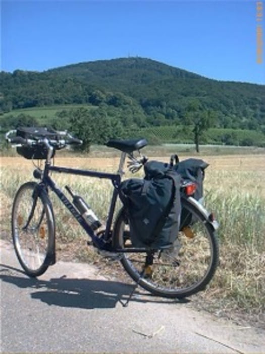

Es handelt sich um einen Rad.- Wanderweg. Man braucht schon etwas Kondition für die vielen Ansteige. Als Entschädigung gibt es die Abfahrten, aber auch die herrliche Landschaft. Überwiegend asphaltiert, bzw. gute Wirtschaftswege. Für Rennräder ungeeignet.
Further information at
http://www.biketripps.de/Карта маршрута и высотный профиль
Minimum height 418 m
Maximum height 639 m
More about the tour author
|
|
JN |
Комментарии

GPS-Tracks
Trackpoints-
GPX / Garmin Map Source (gpx) download
-
TCX / Garmin Training Center® (tcx) download
-
CRS / Garmin Training Center® (crs) download
-
Google Earth (kml) download
-
G7ToWin (g7t) download
-
TTQV (trk) download
-
Overlay (ovl) download
-
Fugawi (txt) download
-
Kompass (DAV) Track (tk) download
-
Формуляр маршрута (pdf) download
-
Original file of the author (gpx) download
More about the tour author
|
|
JN |
Add to my favorites
Remove from my favorites
Edit tags
Open track
My score
Rate