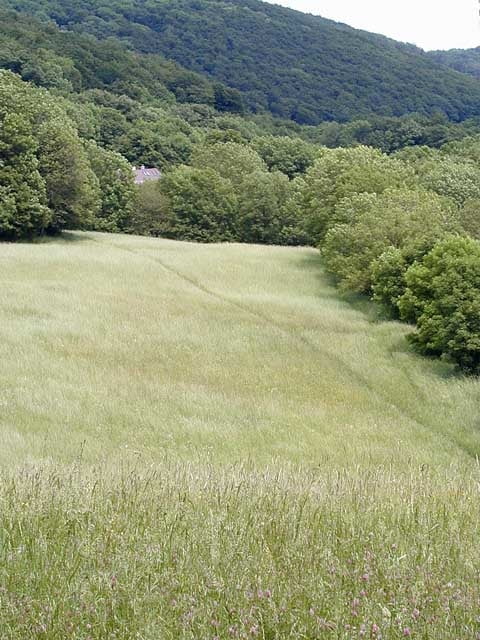
I´ve been for two weeks in the wienerwald for bike rides, and decided to make this track for who wants to get used to the area.
Галерея маршрутов
Карта маршрута и высотный профиль
Minimum height 200 m
Maximum height 521 m
Комментарии

the trail starts at the begining of the newaldeg park, and ends in the same place. because of the dense tree´s area for a few meters i was without signal.
GPS-Tracks
Trackpoints-
GPX / Garmin Map Source (gpx) download
-
TCX / Garmin Training Center® (tcx) download
-
CRS / Garmin Training Center® (crs) download
-
Google Earth (kml) download
-
G7ToWin (g7t) download
-
TTQV (trk) download
-
Overlay (ovl) download
-
Fugawi (txt) download
-
Kompass (DAV) Track (tk) download
-
Формуляр маршрута (pdf) download
-
Original file of the author (g7t) download
Add to my favorites
Remove from my favorites
Edit tags
Open track
My score
Rate


