Login

Забыл пароль?

Cookies have to be accepted!
Your browser's cookie functionality is disabled. Please enable this functionality.

Not a member yet?

Register now
Login

Available for registred users only

Log in to use this feature.

Забыл пароль?

Cookies have to be accepted!
Your browser's cookie functionality is disabled. Please enable this functionality.

Not a member yet?

Register now
Filter
Категории
Advanced filters
  • Длина (км)
  • Высотомер
Сохранить фильтр Reset filter

TrackRank

QRCode

Technical data

Длина30,3 km Высотомер1129 m Way down1115 m Длительность03:00 h:m Дата29.05.2016
Оценки Author Ландшафт Веселье Кондиция Техника

Статистика

1193 Виды Оценки 253 Загрузки Среднее
Rate
  • Формуляр маршрута
  • Дорога
  • Загрузки

Von Kobarid bis Ort Krn Alsphalt, dann Schotter - kurze Schiebepassage ersten 50 HM bergab evtl schieben - flowiger Trail - von Dreznica wieder Asphalt bis Magozd - dann wieder Tail bis zur Soca

Fahrzeit ca 3 Stunden
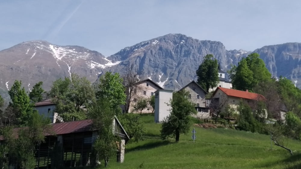
 

Галерея маршрутов

Карта маршрута и высотный профиль

  • Open Street Map
  • Google
Minimum height 193 m Maximum height 1199 m Детальный вид

More about the tour author

jw100
Member since 2015

Send private message

Комментарии

Kobarid Ortsmitte - Napoleonbrücke


GPS-Tracks

Trackpoints
  • GPX / Garmin Map Source (gpx) download
  • TCX / Garmin Training Center® (tcx) download
  • CRS / Garmin Training Center® (crs) download
  • Google Earth (kml) download
  • G7ToWin (g7t) download
  • TTQV (trk) download
  • Overlay (ovl) download
  • Fugawi (txt) download
  • Kompass (DAV) Track (tk) download
  • Формуляр маршрута (pdf) download
  • Original file of the author (gpx) download

More about the tour author

jw100
Member since 2015

Send private message
Share track
Add to my favorites
Remove from my favorites
Edit tags
My score
Rate
Маршрут: KAPELA BES - über Krn Dreznica Magozd
Вид: Горный велосипед
Длина: 30,3 km
Evaluated on:
Длительность:
Day(s)
Hour(s)
Minute(s)
Оценка: Ландшафт Веселье Кондиция Техника