Login

Забыл пароль?

Cookies have to be accepted!
Your browser's cookie functionality is disabled. Please enable this functionality.

Not a member yet?

Register now
Login

Available for registred users only

Log in to use this feature.

Забыл пароль?

Cookies have to be accepted!
Your browser's cookie functionality is disabled. Please enable this functionality.

Not a member yet?

Register now
Filter
Категории
Advanced filters
  • Длина (км)
  • Высотомер
Сохранить фильтр Reset filter

TrackRank

QRCode

Technical data

Длина39,6 km Высотомер129 m Way down121 m Длительность02:43 h:m Дата24.06.2016
Оценки Author Ландшафт Веселье Кондиция Техника

Статистика

289 Виды Оценки 23 Загрузки Среднее
Rate
  • Формуляр маршрута
  • Дорога
  • Загрузки

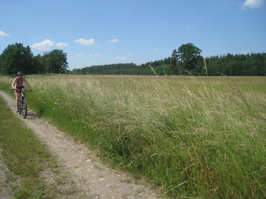
Auf großteils bereits bekannten Wegen durch die malerische Landschaft südlich von Trebon. Wunderbar an sehr heißen Tagen, weil man fast immer im Wald unterwegs ist. Unbedingt Kamera und viel Zeit mitnehmen, es lohnt sich!


Галерея маршрутов

Карта маршрута и высотный профиль

  • Open Street Map
  • Google
Minimum height 427 m Maximum height 495 m Детальный вид

More about the tour author

rjkas
Member since 2003

Send private message

Комментарии

GPS-Tracks

Trackpoints
  • GPX / Garmin Map Source (gpx) download
  • TCX / Garmin Training Center® (tcx) download
  • CRS / Garmin Training Center® (crs) download
  • Google Earth (kml) download
  • G7ToWin (g7t) download
  • TTQV (trk) download
  • Overlay (ovl) download
  • Fugawi (txt) download
  • Kompass (DAV) Track (tk) download
  • Формуляр маршрута (pdf) download
  • Original file of the author (tcx) download

More about the tour author

rjkas
Member since 2003

Send private message
Share track
Add to my favorites
Remove from my favorites
Edit tags
My score
Rate
Маршрут: CZ Kanada: weiß/rot/weißer und weiß/gelb/weißer Weg
Вид: Горный велосипед
Длина: 39,6 km
Evaluated on:
Длительность:
Day(s)
Hour(s)
Minute(s)
Оценка: Ландшафт Веселье Кондиция Техника