Login

Забыл пароль?

Cookies have to be accepted!
Your browser's cookie functionality is disabled. Please enable this functionality.

Not a member yet?

Register now
Login

Available for registred users only

Log in to use this feature.

Забыл пароль?

Cookies have to be accepted!
Your browser's cookie functionality is disabled. Please enable this functionality.

Not a member yet?

Register now
Filter
Категории
Advanced filters
  • Длина (км)
  • Высотомер
Сохранить фильтр Reset filter

TrackRank

QRCode

Technical data

Длина7,6 km Высотомер438 m Way down442 m Длительность04:00 h:m Дата20.08.2016
Оценки Author Ландшафт Веселье Кондиция Техника

Статистика

348 Виды Оценки 24 Загрузки Среднее
Rate
  • Формуляр маршрута
  • Дорога
  • Загрузки

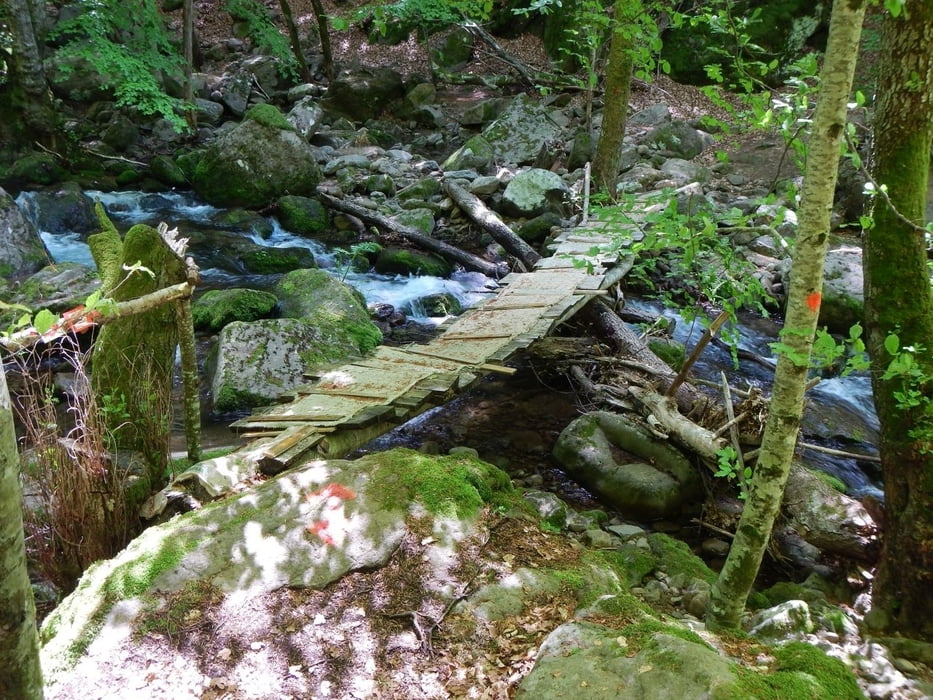
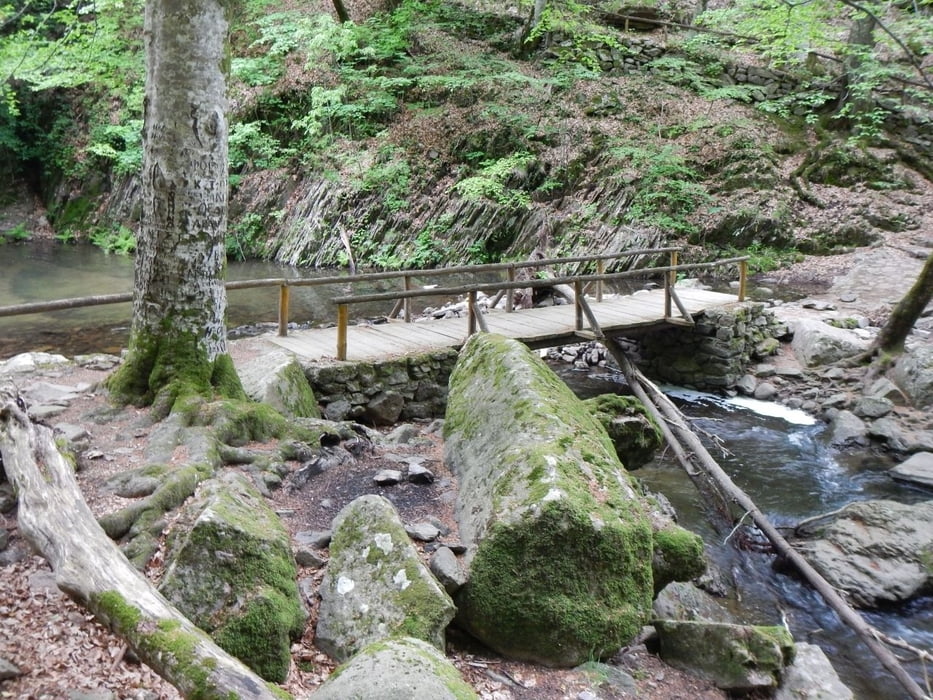
The trail is easy to find, mostly in the shade, under the trees. Some parts are a little slippy, be careful. Use good footwear.


Галерея маршрутов

Карта маршрута и высотный профиль

  • Open Street Map
  • Google
Minimum height 861 m Maximum height 1246 m Детальный вид

More about the tour author

Mapdekode
Member since 2008

Send private message

Комментарии

It's a good paved road from the road number 14 (Paranesti - Stavropoli - Xanthi) via Ano Karyofyto to Leivaditis. The trail start 1.1 km after Leivaditis.

GPS-Tracks

Trackpoints
  • GPX / Garmin Map Source (gpx) download
  • TCX / Garmin Training Center® (tcx) download
  • CRS / Garmin Training Center® (crs) download
  • Google Earth (kml) download
  • G7ToWin (g7t) download
  • TTQV (trk) download
  • Overlay (ovl) download
  • Fugawi (txt) download
  • Kompass (DAV) Track (tk) download
  • Формуляр маршрута (pdf) download
  • Original file of the author (gpx) download

More about the tour author

Mapdekode
Member since 2008

Send private message
Share track
Add to my favorites
Remove from my favorites
Edit tags
My score
Rate
Маршрут: Greece, Xanthi: trail to Livaditis waterfalls
Вид: Пешеходный туризм
Длина: 7,6 km
Evaluated on:
Длительность:
Day(s)
Hour(s)
Minute(s)
Оценка: Ландшафт Веселье Кондиция Техника