Login

Забыл пароль?

Cookies have to be accepted!
Your browser's cookie functionality is disabled. Please enable this functionality.

Not a member yet?

Register now
Login

Available for registred users only

Log in to use this feature.

Забыл пароль?

Cookies have to be accepted!
Your browser's cookie functionality is disabled. Please enable this functionality.

Not a member yet?

Register now
Filter
Категории
Advanced filters
  • Длина (км)
  • Высотомер
Сохранить фильтр Reset filter

TrackRank

QRCode

Technical data

Длина39,0 km Высотомер108 m Way down91 m Длительность03:00 h:m Дата18.09.2016
Оценки Author Ландшафт Веселье Кондиция Техника

Статистика

151 Виды Оценки 18 Загрузки Среднее
Rate
  • Формуляр маршрута
  • Дорога
  • Загрузки

lockere Fahrradtour von Bad Reichenhall ( Fussgängerzone ) startend und Richtung Freilassing.

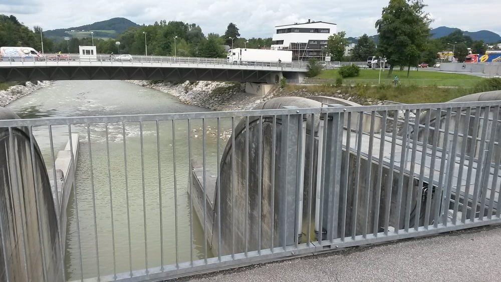
Es geht ohne grosse Steigungen immer an der Saalach entlang.

In Freilassung kann man sich in der Fussgängerzone etwas umsehen

Галерея маршрутов

Карта маршрута и высотный профиль

  • Open Street Map
  • Google
Minimum height 410 m Maximum height 473 m Детальный вид

More about the tour author

franz1962
Member since 2011

Send private message

Комментарии

GPS-Tracks

Trackpoints
  • GPX / Garmin Map Source (gpx) download
  • TCX / Garmin Training Center® (tcx) download
  • CRS / Garmin Training Center® (crs) download
  • Google Earth (kml) download
  • G7ToWin (g7t) download
  • TTQV (trk) download
  • Overlay (ovl) download
  • Fugawi (txt) download
  • Kompass (DAV) Track (tk) download
  • Формуляр маршрута (pdf) download
  • Original file of the author (gpx) download

More about the tour author

franz1962
Member since 2011

Send private message
Share track
Add to my favorites
Remove from my favorites
Edit tags
My score
Rate
Маршрут: Bad Reichenhall - Freilassing - Salzburgrunde
Вид: Горный велосипед
Длина: 39,0 km
Evaluated on:
Длительность:
Day(s)
Hour(s)
Minute(s)
Оценка: Ландшафт Веселье Кондиция Техника