Login

Забыл пароль?

Cookies have to be accepted!
Your browser's cookie functionality is disabled. Please enable this functionality.

Not a member yet?

Register now
Login

Available for registred users only

Log in to use this feature.

Забыл пароль?

Cookies have to be accepted!
Your browser's cookie functionality is disabled. Please enable this functionality.

Not a member yet?

Register now
Filter
Категории
Advanced filters
  • Длина (км)
  • Высотомер
Сохранить фильтр Reset filter

TrackRank

QRCode

Technical data

Длина8,4 km Высотомер107 m Way down110 m Длительность00:00 h:m Дата01.10.2016
Оценки Author Ландшафт Веселье Кондиция Техника

Статистика

538 Виды Оценки 14 Загрузки Среднее
Rate
  • Формуляр маршрута
  • Дорога
  • Загрузки
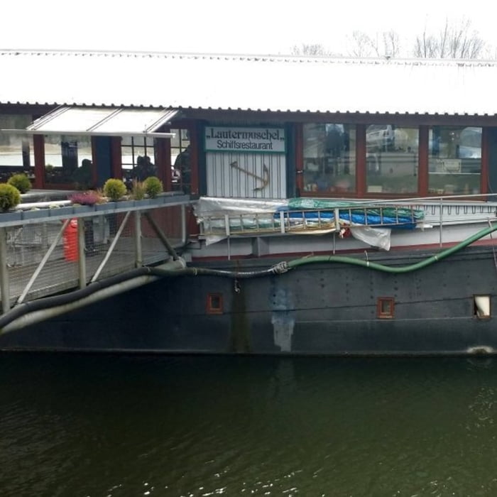
Start und Ziel ist die Lautermuschen. Der Rundweg führt zunächst entlang des Rheins und anschließend um den Hagenbacher Altrhein herum wieder zurück.

Галерея маршрутов

Карта маршрута и высотный профиль

  • Open Street Map
  • Google
Minimum height 90 m Maximum height 133 m Детальный вид

More about the tour author

isg13
Member since 2010

Send private message

Комментарии

GPS-Tracks

Trackpoints
  • GPX / Garmin Map Source (gpx) download
  • TCX / Garmin Training Center® (tcx) download
  • CRS / Garmin Training Center® (crs) download
  • Google Earth (kml) download
  • G7ToWin (g7t) download
  • TTQV (trk) download
  • Overlay (ovl) download
  • Fugawi (txt) download
  • Kompass (DAV) Track (tk) download
  • Формуляр маршрута (pdf) download
  • Original file of the author (gpx) download

More about the tour author

isg13
Member since 2010

Send private message
Share track
Add to my favorites
Remove from my favorites
Edit tags
My score
Rate
Маршрут: Pfälzer Rundwanderung mit Einkehr - Lautermuschel Neuburg am Rhein
Вид: Пешеходный туризм
Длина: 8,4 km
Evaluated on:
Длительность:
Day(s)
Hour(s)
Minute(s)
Оценка: Ландшафт Веселье Кондиция Техника