Login

Забыл пароль?

Cookies have to be accepted!
Your browser's cookie functionality is disabled. Please enable this functionality.

Not a member yet?

Register now
Login

Available for registred users only

Log in to use this feature.

Забыл пароль?

Cookies have to be accepted!
Your browser's cookie functionality is disabled. Please enable this functionality.

Not a member yet?

Register now
Filter
Категории
Advanced filters
  • Длина (км)
  • Высотомер
Сохранить фильтр Reset filter

TrackRank

QRCode

Technical data

Длина9,2 km Высотомер411 m Way down404 m Длительность00:00 h:m Дата01.10.2016
Оценки Author Ландшафт Веселье Кондиция Техника

Статистика

161 Виды Оценки 17 Загрузки Среднее
Rate
  • Формуляр маршрута
  • Дорога
  • Загрузки
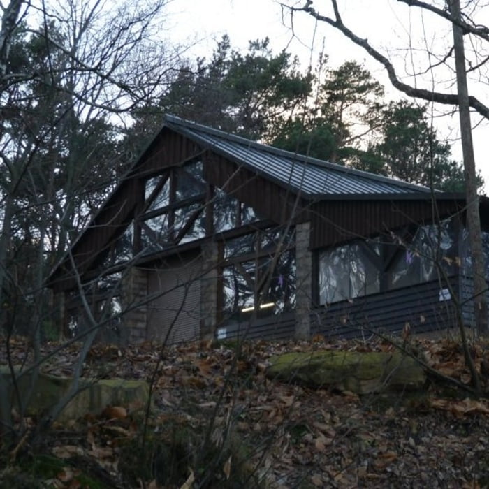
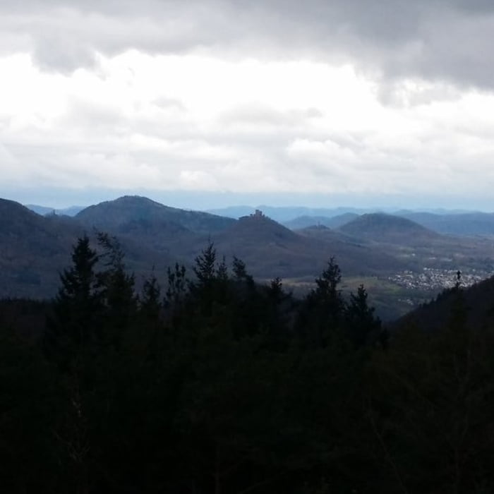
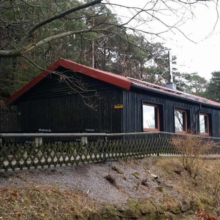
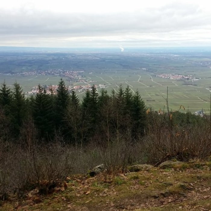
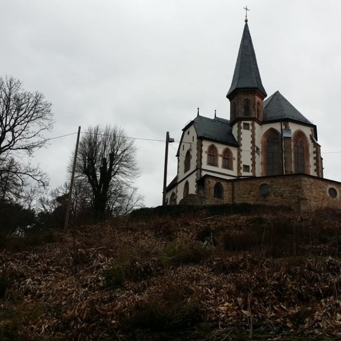
Von einem Parkplatz in der Nähe des Sankt Annaguts geht es zunächst zur Trifelsblickhütte von der man einen sehr schönen Blick auf den Trifels und Annweiler hat. Vorbei am Teufelsfelsen verläuft die weitere Tour um den Lambertskopf zur Sankt Anna Hütte.

Галерея маршрутов

Карта маршрута и высотный профиль

  • Open Street Map
  • Google
Minimum height 314 m Maximum height 615 m Детальный вид

More about the tour author

isg13
Member since 2010

Send private message

Комментарии

GPS-Tracks

Trackpoints
  • GPX / Garmin Map Source (gpx) download
  • TCX / Garmin Training Center® (tcx) download
  • CRS / Garmin Training Center® (crs) download
  • Google Earth (kml) download
  • G7ToWin (g7t) download
  • TTQV (trk) download
  • Overlay (ovl) download
  • Fugawi (txt) download
  • Kompass (DAV) Track (tk) download
  • Формуляр маршрута (pdf) download
  • Original file of the author (gpx) download

More about the tour author

isg13
Member since 2010

Send private message
Share track
Add to my favorites
Remove from my favorites
Edit tags
My score
Rate
Маршрут: Pfälzer Rundwanderung mit Einkehr - Sankt Annahütte
Вид: Пешеходный туризм
Длина: 9,2 km
Evaluated on:
Длительность:
Day(s)
Hour(s)
Minute(s)
Оценка: Ландшафт Веселье Кондиция Техника