Login

Забыл пароль?

Cookies have to be accepted!
Your browser's cookie functionality is disabled. Please enable this functionality.

Not a member yet?

Register now
Login

Available for registred users only

Log in to use this feature.

Забыл пароль?

Cookies have to be accepted!
Your browser's cookie functionality is disabled. Please enable this functionality.

Not a member yet?

Register now
Filter
Категории
Advanced filters
  • Длина (км)
  • Высотомер
Сохранить фильтр Reset filter

TrackRank

QRCode

Technical data

Длина8,4 km Высотомер1066 m Way down1061 m Длительность04:20 h:m Дата30.12.2016
Оценки Author Ландшафт Веселье Кондиция Техника

Статистика

273 Виды Оценки 6 Загрузки Среднее
Rate
  • Формуляр маршрута
  • Дорога
  • Загрузки
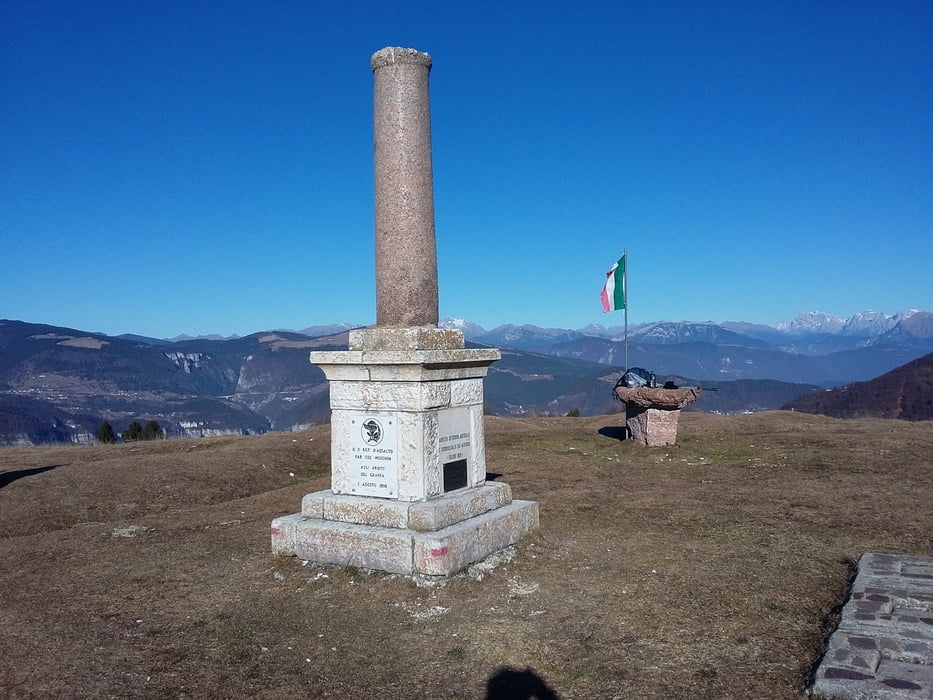
Eccellente escursione non facile dalla Valsugana verso est fino al Col Moschin, zona di tragico teatro nella prima guerra mondiale. Giornata stupenda.

Further information at

http://www.magicoveneto.it/Grappa/ColliAlti/ID_ColFenilon.htm

Галерея маршрутов

Карта маршрута и высотный профиль

  • Open Street Map
  • Google
Minimum height 214 m Maximum height 1278 m Детальный вид

More about the tour author

agosflavio
Member since 2013

Send private message

Комментарии

GPS-Tracks

Trackpoints
  • GPX / Garmin Map Source (gpx) download
  • TCX / Garmin Training Center® (tcx) download
  • CRS / Garmin Training Center® (crs) download
  • Google Earth (kml) download
  • G7ToWin (g7t) download
  • TTQV (trk) download
  • Overlay (ovl) download
  • Fugawi (txt) download
  • Kompass (DAV) Track (tk) download
  • Формуляр маршрута (pdf) download
  • Original file of the author (gpx) download

More about the tour author

agosflavio
Member since 2013

Send private message
Share track
Add to my favorites
Remove from my favorites
Edit tags
My score
Rate
Маршрут: Escursione da San Nazario-Col Moschin
Вид: Пешеходный туризм
Длина: 8,4 km
Evaluated on:
Длительность:
Day(s)
Hour(s)
Minute(s)
Оценка: Ландшафт Веселье Кондиция Техника