


Further information at
http://thorsten-bachner.de/radfahrenГалерея маршрутов

Карта маршрута и высотный профиль
Minimum height 4 m
Maximum height 243 m
More about the tour author
|
|
tbachner |
Комментарии

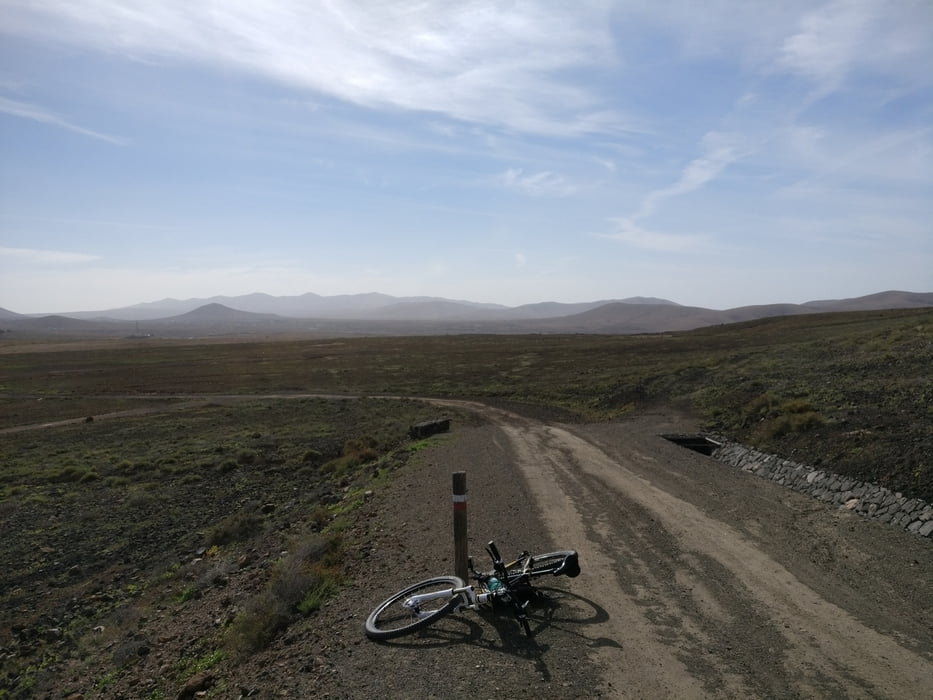
Die Tour beginnt in El Cotilla, da wir dort während des Urlaub Quatier bezogen hatten. Da es sich weitgehend um eine Rundtour handelt kann aber auch an jedem anderen Punkt in den Track eingestiegen werden.
GPS-Tracks
Trackpoints-
GPX / Garmin Map Source (gpx) download
-
TCX / Garmin Training Center® (tcx) download
-
CRS / Garmin Training Center® (crs) download
-
Google Earth (kml) download
-
G7ToWin (g7t) download
-
TTQV (trk) download
-
Overlay (ovl) download
-
Fugawi (txt) download
-
Kompass (DAV) Track (tk) download
-
Формуляр маршрута (pdf) download
-
Original file of the author (gpx) download
More about the tour author
|
|
tbachner |
Add to my favorites
Remove from my favorites
Edit tags
Open track
My score
Rate