Login

Забыл пароль?

Cookies have to be accepted!
Your browser's cookie functionality is disabled. Please enable this functionality.

Not a member yet?

Register now
Login

Available for registred users only

Log in to use this feature.

Забыл пароль?

Cookies have to be accepted!
Your browser's cookie functionality is disabled. Please enable this functionality.

Not a member yet?

Register now
Filter
Категории
Advanced filters
  • Длина (км)
  • Высотомер
Сохранить фильтр Reset filter

TrackRank

QRCode

Technical data

Длина83,1 km Высотомер591 m Way down575 m Длительность00:00 h:m Дата10.04.2017
Оценки Author Ландшафт Веселье Кондиция Техника

Статистика

172 Виды Оценки 9 Загрузки Среднее
Rate
  • Формуляр маршрута
  • Дорога
  • Загрузки

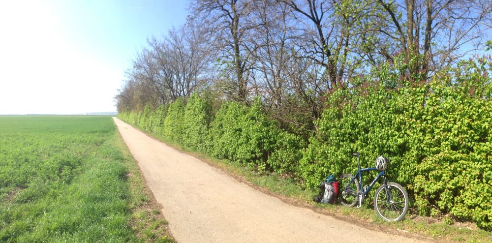
Streckenführung auf mehr Kilometer und weniger Singeltrail ausgelegt, um ein Gefühl für Entfernungen bei bei mehrtägigen Radtouren zu bekommen.

80% auf Radwegen und Radrouten

20% auf Waldpfaden (Glockenberg) und Forstwegen mit Fahrradverbot


Карта маршрута и высотный профиль

  • Open Street Map
  • Google
Minimum height 150 m Maximum height 373 m Детальный вид

More about the tour author

Martin74
Member since 2009

Send private message

Комментарии

GPS-Tracks

Trackpoints
  • GPX / Garmin Map Source (gpx) download
  • TCX / Garmin Training Center® (tcx) download
  • CRS / Garmin Training Center® (crs) download
  • Google Earth (kml) download
  • G7ToWin (g7t) download
  • TTQV (trk) download
  • Overlay (ovl) download
  • Fugawi (txt) download
  • Kompass (DAV) Track (tk) download
  • Формуляр маршрута (pdf) download
  • Original file of the author (gpx) download

More about the tour author

Martin74
Member since 2009

Send private message
Share track
Add to my favorites
Remove from my favorites
Edit tags
My score
Rate
Маршрут: Weinviertel Wien-Glockenberg
Вид: Горный велосипед
Длина: 83,1 km
Evaluated on:
Длительность:
Day(s)
Hour(s)
Minute(s)
Оценка: Ландшафт Веселье Кондиция Техника