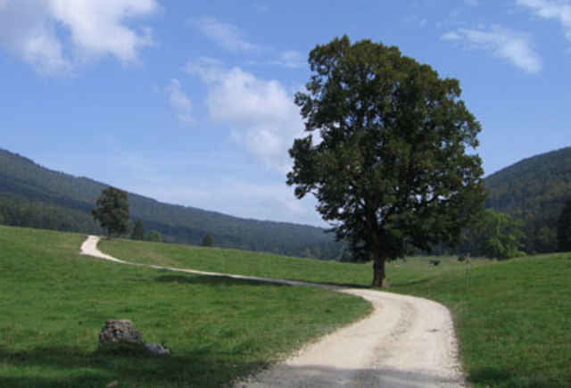
Von Nods, nehmen Waldweg bis Metairie de BIenne. Nachher es ist Wiese und single track bis Orvins. HOp es gibt Weg für die Rückfahrt bis Chasseral. Es gibt ein grosse Aufstiege auf Waldweg und Nachher die Chasseral Kamm. Hopp, die Final Abfahrte. Am Anfang es ist Wiese und von 1400m zu 900m es ist Single Track mit viele Kurve... Sehr schöne
Галерея маршрутов
Карта маршрута и высотный профиль
Minimum height 746 m
Maximum height 1649 m
Комментарии
GPS-Tracks
Trackpoints-
GPX / Garmin Map Source (gpx) download
-
TCX / Garmin Training Center® (tcx) download
-
CRS / Garmin Training Center® (crs) download
-
Google Earth (kml) download
-
G7ToWin (g7t) download
-
TTQV (trk) download
-
Overlay (ovl) download
-
Fugawi (txt) download
-
Kompass (DAV) Track (tk) download
-
Формуляр маршрута (pdf) download
-
Original file of the author (gpx) download
Add to my favorites
Remove from my favorites
Edit tags
Open track
My score
Rate


Feedback