Login

Забыл пароль?

Cookies have to be accepted!
Your browser's cookie functionality is disabled. Please enable this functionality.

Not a member yet?

Register now
Login

Available for registred users only

Log in to use this feature.

Забыл пароль?

Cookies have to be accepted!
Your browser's cookie functionality is disabled. Please enable this functionality.

Not a member yet?

Register now
Filter
Категории
Advanced filters
  • Длина (км)
  • Высотомер
Сохранить фильтр Reset filter

TrackRank

QRCode

Technical data

Длина83,1 km Высотомер1832 m Way down1748 m Длительность07:03 h:m Дата17.04.2017
Оценки Author Ландшафт Веселье Кондиция Техника

Статистика

162 Виды Оценки 7 Загрузки Среднее
Rate
  • Формуляр маршрута
  • Дорога
  • Загрузки

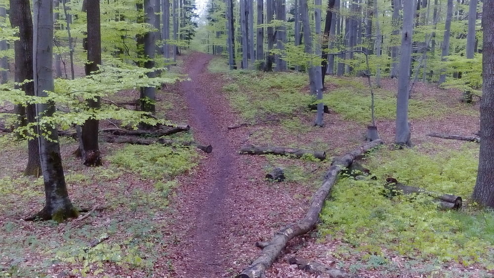
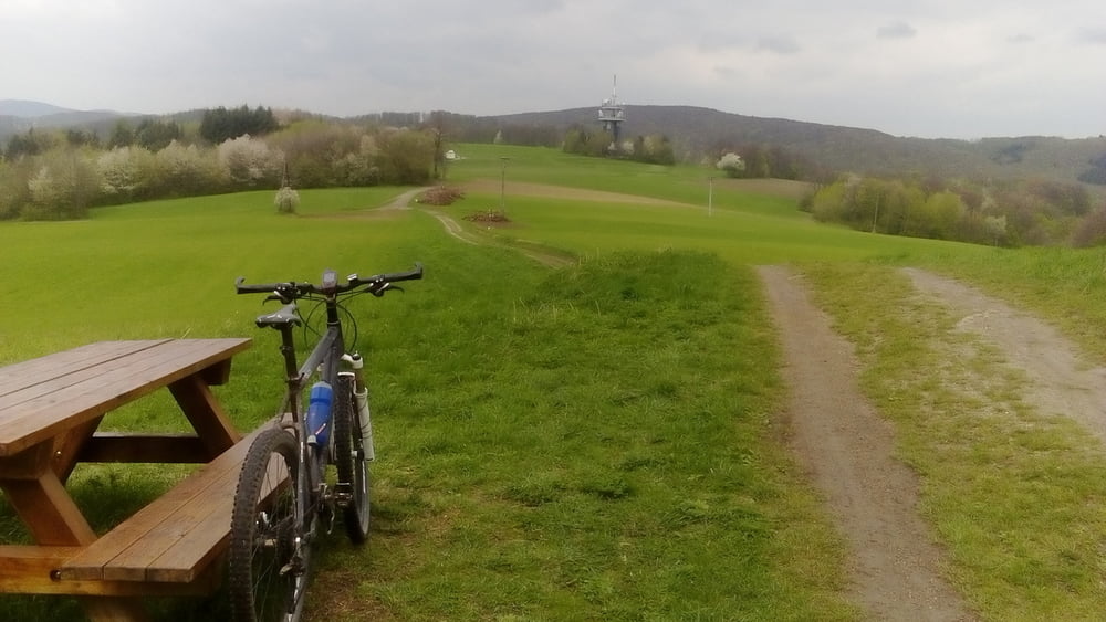
Herrliche Frühjahrstour in den Westen Wiens mit schönen Wald- und Wiesentrails. Sehr lässige Abfahrt von der Kukubauerhütte. Obwöhl der höchste Punkt unter 800 m liegt, kommen doch einige hm zusammen.


Галерея маршрутов

Карта маршрута и высотный профиль

  • Open Street Map
  • Google
Minimum height 192 m Maximum height 746 m Детальный вид

Комментарии

Start in Meidling, Nähe Bahnhof.


GPS-Tracks

Trackpoints
  • GPX / Garmin Map Source (gpx) download
  • TCX / Garmin Training Center® (tcx) download
  • CRS / Garmin Training Center® (crs) download
  • Google Earth (kml) download
  • G7ToWin (g7t) download
  • TTQV (trk) download
  • Overlay (ovl) download
  • Fugawi (txt) download
  • Kompass (DAV) Track (tk) download
  • Формуляр маршрута (pdf) download
  • Original file of the author (gpx) download
Share track
Add to my favorites
Remove from my favorites
Edit tags
My score
Rate
Маршрут: Wien-Wilhelmsburg 170413
Вид: Горный велосипед
Длина: 83,1 km
Evaluated on:
Длительность:
Day(s)
Hour(s)
Minute(s)
Оценка: Ландшафт Веселье Кондиция Техника