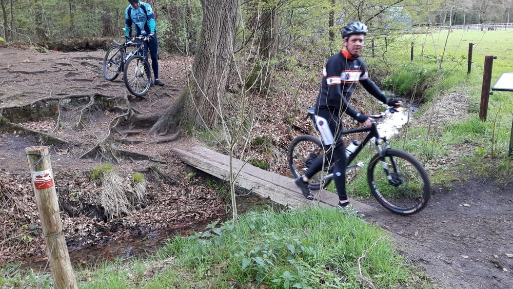
Schitterende tocht vanaf de Wageningse berg langs beekjes en door de bossen richting Oosterbeek. Aan de rand van Oosterbeek afbuigend naar Heveadorp langs de oevers van de Rijn op en af richting Renkum en vervolgens door richting de Wageningse berg.
Галерея маршрутов
Карта маршрута и высотный профиль
Minimum height 99999 m
Maximum height -99999 m
Комментарии

GPS-Tracks
Trackpoints-
GPX / Garmin Map Source (gpx) download
-
TCX / Garmin Training Center® (tcx) download
-
CRS / Garmin Training Center® (crs) download
-
Google Earth (kml) download
-
G7ToWin (g7t) download
-
TTQV (trk) download
-
Overlay (ovl) download
-
Fugawi (txt) download
-
Kompass (DAV) Track (tk) download
-
Формуляр маршрута (pdf) download
-
Original file of the author (gpx) download
Add to my favorites
Remove from my favorites
Edit tags
Open track
My score
Rate


