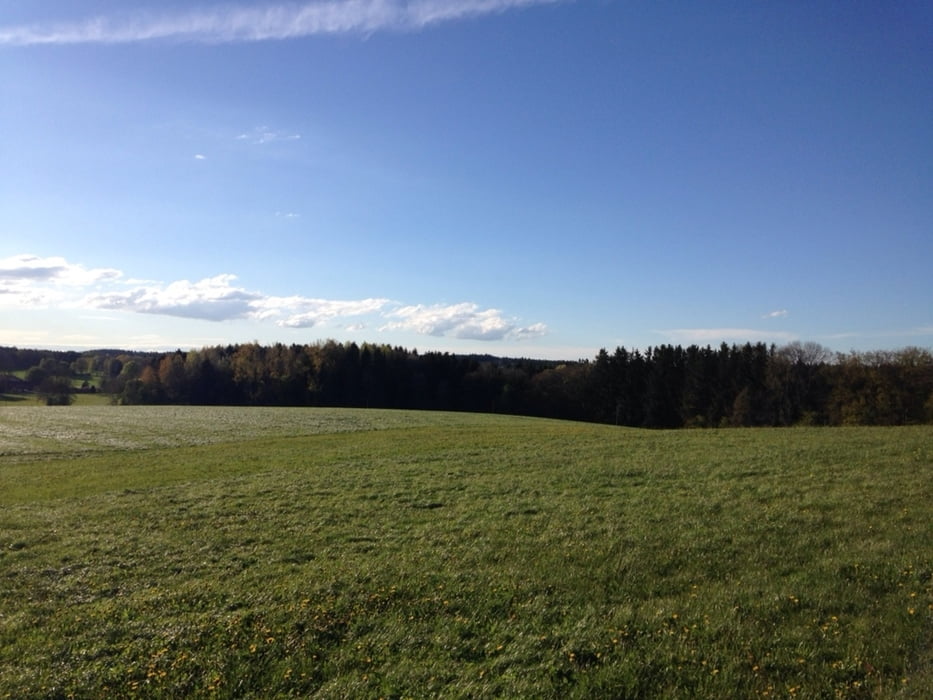
Es geht über Forstwege und Wiesen durchs Ebersberger Land immer Richtung Süden nach BadAibling, Rosenheim und Simsee. Zurück Richtung Norden auf dem Inn Radweg nach Wasserburg. Etwas viel Teer und Asphalt für meinen Geschmack aber dafür schöne Landschaften und Aussichten.
Mein Einkehrtipp: Gasthaus Schmidmayer in Schwabering
Viel Spaß beim biken!
Карта маршрута и высотный профиль
Minimum height 431 m
Maximum height 589 m
Комментарии

Von Markt Schwaben weg. Maps, Karten etc....
GPS-Tracks
Trackpoints-
GPX / Garmin Map Source (gpx) download
-
TCX / Garmin Training Center® (tcx) download
-
CRS / Garmin Training Center® (crs) download
-
Google Earth (kml) download
-
G7ToWin (g7t) download
-
TTQV (trk) download
-
Overlay (ovl) download
-
Fugawi (txt) download
-
Kompass (DAV) Track (tk) download
-
Формуляр маршрута (pdf) download
-
Original file of the author (gpx) download
Add to my favorites
Remove from my favorites
Edit tags
Open track
My score
Rate

