
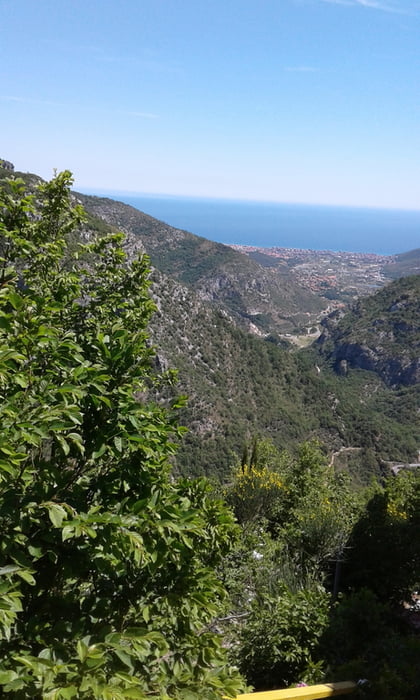

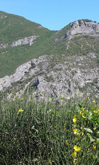
vom Camping Tahiti hinauf nach San Bernardino. Erst auf Fahrweg dann auf Trail am mt. Cucco vorbei nach Orco (teilweise bergauf und bergab schieben bzw. tragen). Dann erst auf Strasse dann auf wanderweg hinab nach Feligno. Sehr steile Auffahrt auf Fahrweg (ohne Strom muss amn schieben). Wird später etwas flacher hinauf zum Colle die Cravarezza. Auf Trail (Vorsicht Gegenverkehr) zur Natobase. Kurz am Zaun entlang und links in den Trail eingebogen. Alles gut im S1-Bereich fahrbar. Trail überquert ein paar mal die Strasse und geht dann gleich wieder weiter. Man kommt unten in Final Borgo wieder auf die Strasse und zurück zum Camping.
Галерея маршрутов
Карта маршрута и высотный профиль
Minimum height -52 m
Maximum height 1015 m
More about the tour author
|
|
Fruehaufsteher |
Комментарии

GPS-Tracks
Trackpoints-
GPX / Garmin Map Source (gpx) download
-
TCX / Garmin Training Center® (tcx) download
-
CRS / Garmin Training Center® (crs) download
-
Google Earth (kml) download
-
G7ToWin (g7t) download
-
TTQV (trk) download
-
Overlay (ovl) download
-
Fugawi (txt) download
-
Kompass (DAV) Track (tk) download
-
Формуляр маршрута (pdf) download
-
Original file of the author (gpx) download
More about the tour author
|
|
Fruehaufsteher |
Add to my favorites
Remove from my favorites
Edit tags
Open track
My score
Rate