Login

Забыл пароль?

Cookies have to be accepted!
Your browser's cookie functionality is disabled. Please enable this functionality.

Not a member yet?

Register now
Login

Available for registred users only

Log in to use this feature.

Забыл пароль?

Cookies have to be accepted!
Your browser's cookie functionality is disabled. Please enable this functionality.

Not a member yet?

Register now
Filter
Категории
Advanced filters
  • Длина (км)
  • Высотомер
Сохранить фильтр Reset filter

TrackRank

QRCode

Technical data

Длина68,6 km Высотомер1308 m Way down1315 m Длительность04:00 h:m Дата05.06.2017
Оценки Author Ландшафт Веселье Кондиция Техника

Статистика

329 Виды Оценки 39 Загрузки Среднее
Rate
  • Формуляр маршрута
  • Дорога
  • Загрузки

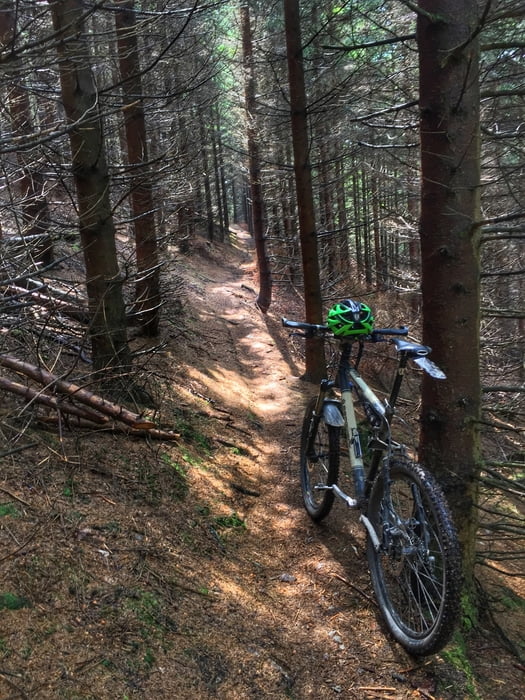
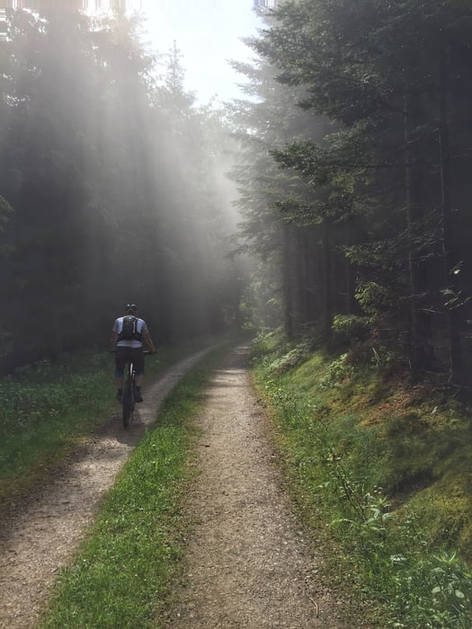
Würdinghausen - Philosophenweg - Altenhundem - Hexenplatz - SGV Hütte - Saalhauser Berge -Lenne - Uentroptal - Schäferhof - Margarethenstein - Försterstod Downhill - Schwarzbachtal - Furt - Panoramapark - Marmeke Downhill - Böminghausen - Friedhofstrail - Würdinghausen


Further information at

http://www.hegibiketours.de

Галерея маршрутов

Карта маршрута и высотный профиль

  • Open Street Map
  • Google
Minimum height 287 m Maximum height 711 m Детальный вид

More about the tour author

hegi
Member since 2007

Send private message

Комментарии

Start in Würdinghausen. Dort kann man in den Wohngegenden parken


GPS-Tracks

Trackpoints
  • GPX / Garmin Map Source (gpx) download
  • TCX / Garmin Training Center® (tcx) download
  • CRS / Garmin Training Center® (crs) download
  • Google Earth (kml) download
  • G7ToWin (g7t) download
  • TTQV (trk) download
  • Overlay (ovl) download
  • Fugawi (txt) download
  • Kompass (DAV) Track (tk) download
  • Формуляр маршрута (pdf) download
  • Original file of the author (gpx) download

More about the tour author

hegi
Member since 2007

Send private message
Share track
Add to my favorites
Remove from my favorites
Edit tags
My score
Rate
Маршрут: Chill in den Saalhauser Bergen zwischen Altenhundem und der Schwarzbachtal Furt
Вид: Горный велосипед
Длина: 68,6 km
Evaluated on:
Длительность:
Day(s)
Hour(s)
Minute(s)
Оценка: Ландшафт Веселье Кондиция Техника