Login

Забыл пароль?

Cookies have to be accepted!
Your browser's cookie functionality is disabled. Please enable this functionality.

Not a member yet?

Register now
Login

Available for registred users only

Log in to use this feature.

Забыл пароль?

Cookies have to be accepted!
Your browser's cookie functionality is disabled. Please enable this functionality.

Not a member yet?

Register now
Filter
Категории
Advanced filters
  • Длина (км)
  • Высотомер
Сохранить фильтр Reset filter

TrackRank

QRCode

Technical data

Длина12,6 km Высотомер416 m Way down419 m Длительность02:25 h:m Дата18.06.2017
Оценки Author Ландшафт Веселье Кондиция Техника

Статистика

409 Виды Оценки 5 Загрузки Среднее
Rate
  • Формуляр маршрута
  • Дорога
  • Загрузки
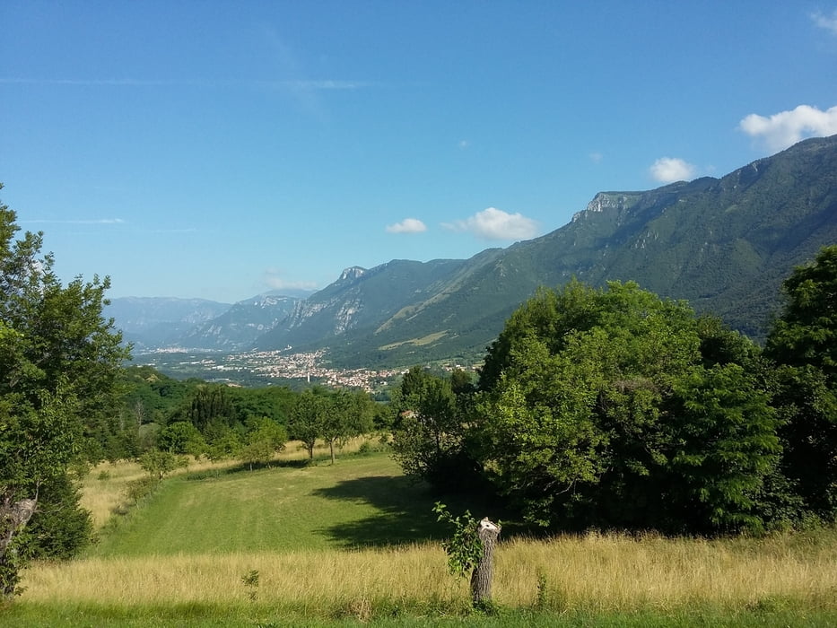
Ottima ma impegnativo percorso. Svoltosi quasi completamente su sterrato e sul sottobosco delle colline di Carre'. Bella giornata estiva.

Further information at

http://www.tuttitalia.it/veneto/60-carre/

Галерея маршрутов

Карта маршрута и высотный профиль

  • Open Street Map
  • Google
Minimum height 221 m Maximum height 416 m Детальный вид

More about the tour author

agosflavio
Member since 2013

Send private message

Комментарии

GPS-Tracks

Trackpoints
  • GPX / Garmin Map Source (gpx) download
  • TCX / Garmin Training Center® (tcx) download
  • CRS / Garmin Training Center® (crs) download
  • Google Earth (kml) download
  • G7ToWin (g7t) download
  • TTQV (trk) download
  • Overlay (ovl) download
  • Fugawi (txt) download
  • Kompass (DAV) Track (tk) download
  • Формуляр маршрута (pdf) download
  • Original file of the author (gpx) download

More about the tour author

agosflavio
Member since 2013

Send private message
Share track
Add to my favorites
Remove from my favorites
Edit tags
My score
Rate
Маршрут: Passeggiata panoramica di Carre' (VI)
Вид: Горный маршрут
Длина: 12,6 km
Evaluated on:
Длительность:
Day(s)
Hour(s)
Minute(s)
Оценка: Ландшафт Веселье Кондиция Техника