
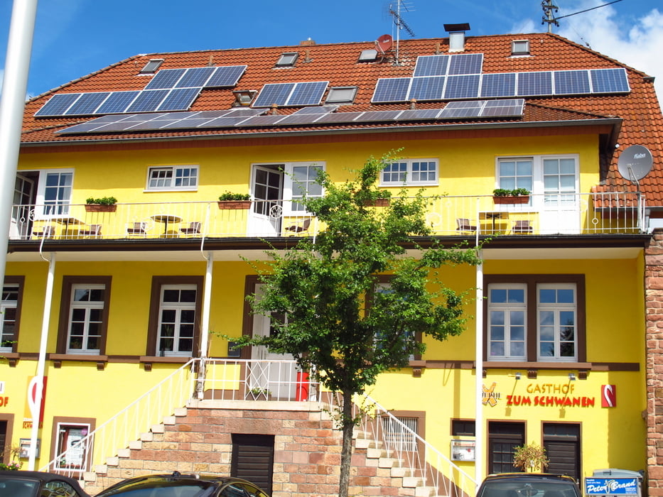

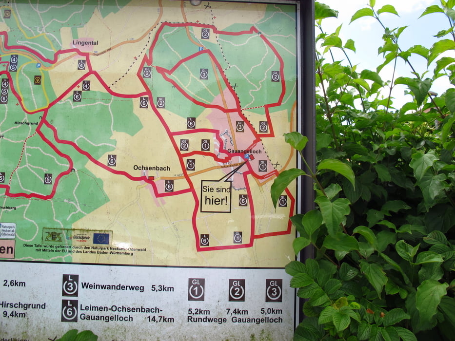
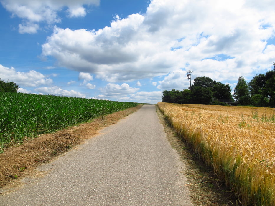
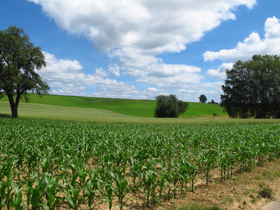
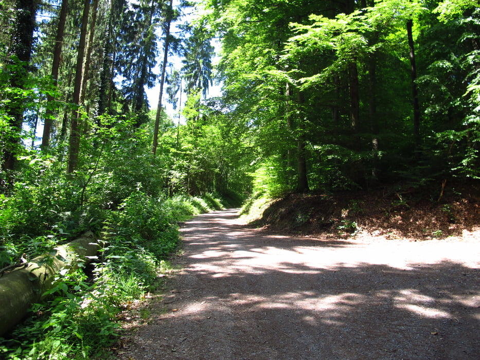
Auf dem Parkplatz vor dem Hotel Restaurant "Zum Schwanen" geht es los. Es gibt 3 Rundwege die mit GL gekennzeichnet sind. Ich habe mir den GL1 mit Verbindung in den GL2 vorgenommen. Der GL1 Teil ist komplett geteert. Ab dem GL2 Teil sind es Überwiegend Wald-, Feld- oder Schotterwege. Der erste Teil führt durch die Felder rund um Gauangelloch. Der GL2 Teil führt am Wald entlang und einen großen Teil durch Wald.
Sehr abwechslungsreicher Wanderweg.
Sehr abwechslungsreicher Wanderweg.
Галерея маршрутов
Карта маршрута и высотный профиль
Minimum height 191 m
Maximum height 321 m
More about the tour author
|
|
Hastati |
Комментарии

GPS-Tracks
Trackpoints-
GPX / Garmin Map Source (gpx) download
-
TCX / Garmin Training Center® (tcx) download
-
CRS / Garmin Training Center® (crs) download
-
Google Earth (kml) download
-
G7ToWin (g7t) download
-
TTQV (trk) download
-
Overlay (ovl) download
-
Fugawi (txt) download
-
Kompass (DAV) Track (tk) download
-
Формуляр маршрута (pdf) download
-
Original file of the author (gpx) download
More about the tour author
|
|
Hastati |
Add to my favorites
Remove from my favorites
Edit tags
Open track
My score
Rate