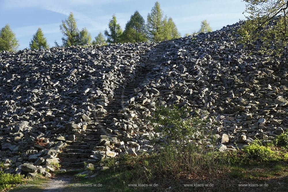
Zunächst geht es von Marpingen aus über Alsweiler, Tholey-Theley, Pristmal nach Nonnweiler zum Stausee. Von dort hoch zum Ringwall und dann weiter an den Bostalsee. Anschließend geht es weiter nach Türkismühle und wieder zurück zum Ausgangspunkt. Die Strecke besteht überwiegend aus Wald- und Wirtschaftswegen. Ab und an über asphaltierte Abschnitte.
Галерея маршрутов
Карта маршрута и высотный профиль
Minimum height 268 m
Maximum height 626 m
Комментарии

GPS-Tracks
Trackpoints-
GPX / Garmin Map Source (gpx) download
-
TCX / Garmin Training Center® (tcx) download
-
CRS / Garmin Training Center® (crs) download
-
Google Earth (kml) download
-
G7ToWin (g7t) download
-
TTQV (trk) download
-
Overlay (ovl) download
-
Fugawi (txt) download
-
Kompass (DAV) Track (tk) download
-
Формуляр маршрута (pdf) download
-
Original file of the author (gpx) download
Add to my favorites
Remove from my favorites
Edit tags
Open track
My score
Rate


