


Unser Start war in Deutschland in der Ortschaft Oybin und dann ging es sofort über die Grenze nach Tschechien.
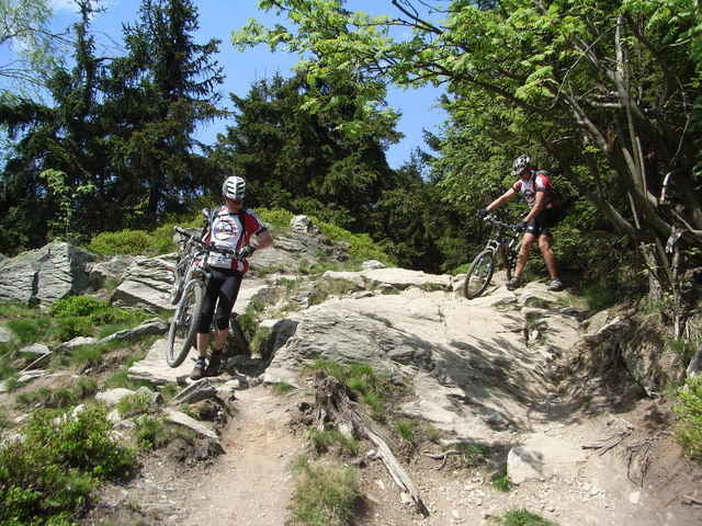
Als Wendepunkt wurde der Berg Jeschken bei Reichenberg oder Liberec gewählt. Viele Trials.
Als Wendepunkt wurde der Berg Jeschken bei Reichenberg oder Liberec gewählt. Viele Trials.
Further information at
http://www.biketreff-niefern.deГалерея маршрутов
Карта маршрута и высотный профиль
Minimum height 305 m
Maximum height 1010 m
More about the tour author

|
winklem |
Комментарии

Start in Oybin.
GPS-Tracks
Trackpoints-
GPX / Garmin Map Source (gpx) download
-
TCX / Garmin Training Center® (tcx) download
-
CRS / Garmin Training Center® (crs) download
-
Google Earth (kml) download
-
G7ToWin (g7t) download
-
TTQV (trk) download
-
Overlay (ovl) download
-
Fugawi (txt) download
-
Kompass (DAV) Track (tk) download
-
Формуляр маршрута (pdf) download
-
Original file of the author (g7t) download
More about the tour author
|
|
winklem |
Add to my favorites
Remove from my favorites
Edit tags
Open track
My score
Rate