Login

Забыл пароль?

Cookies have to be accepted!
Your browser's cookie functionality is disabled. Please enable this functionality.

Not a member yet?

Register now
Login

Available for registred users only

Log in to use this feature.

Забыл пароль?

Cookies have to be accepted!
Your browser's cookie functionality is disabled. Please enable this functionality.

Not a member yet?

Register now
Filter
Категории
Advanced filters
  • Длина (км)
  • Высотомер
Сохранить фильтр Reset filter

TrackRank

QRCode

Technical data

Длина85,6 km Высотомер1663 m Way down1590 m Длительность04:45 h:m Дата27.08.2017
Оценки Author Ландшафт Веселье Кондиция Техника

Статистика

225 Виды Оценки 36 Загрузки Среднее
Rate
  • Формуляр маршрута
  • Дорога
  • Загрузки

Die Runde wurde durch Starkregen beendet.

Für die beiden Tunnel im Laternsertal ist eine Beleuchtung (Rücklicht) zwingend notwendig!
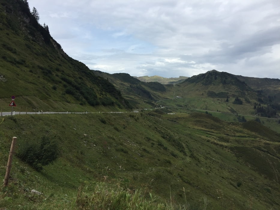
Галерея маршрутов

Карта маршрута и высотный профиль

  • Open Street Map
  • Google
Minimum height 421 m Maximum height 1750 m Детальный вид

More about the tour author

xlink
Member since 2010

Send private message

Комментарии

GPS-Tracks

Trackpoints
  • GPX / Garmin Map Source (gpx) download
  • TCX / Garmin Training Center® (tcx) download
  • CRS / Garmin Training Center® (crs) download
  • Google Earth (kml) download
  • G7ToWin (g7t) download
  • TTQV (trk) download
  • Overlay (ovl) download
  • Fugawi (txt) download
  • Kompass (DAV) Track (tk) download
  • Формуляр маршрута (pdf) download
  • Original file of the author (gpx) download

More about the tour author

xlink
Member since 2010

Send private message
Share track
Add to my favorites
Remove from my favorites
Edit tags
My score
Rate
Маршрут: Wolfurt - Buch - Egg - Mellau - Furkajoch - Rankweil
Вид: Гоночный велосипед
Длина: 85,6 km
Evaluated on:
Длительность:
Day(s)
Hour(s)
Minute(s)
Оценка: Ландшафт Веселье Кондиция Техника