Login

Забыл пароль?

Cookies have to be accepted!
Your browser's cookie functionality is disabled. Please enable this functionality.

Not a member yet?

Register now
Login

Available for registred users only

Log in to use this feature.

Забыл пароль?

Cookies have to be accepted!
Your browser's cookie functionality is disabled. Please enable this functionality.

Not a member yet?

Register now
Filter
Категории
Advanced filters
  • Длина (км)
  • Высотомер
Сохранить фильтр Reset filter

TrackRank

QRCode

Technical data

Длина28,0 km Высотомер526 m Way down476 m Длительность02:07 h:m Дата11.09.2017
Оценки Author Ландшафт Веселье Кондиция Техника

Статистика

127 Виды Оценки 15 Загрузки Среднее
Rate
  • Формуляр маршрута
  • Дорога
  • Загрузки

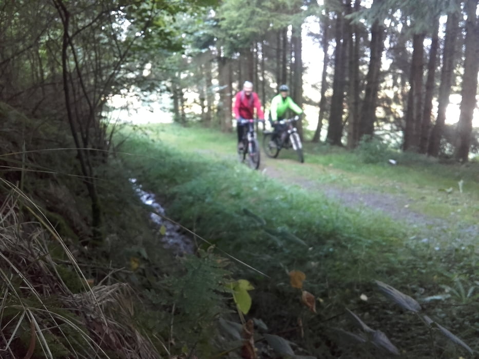
Mountainbike Tour von Eitorf Mühleip nach Lohmar Birk

Steilstes Stück 24 % von Bourauel Richtung Merten Hohn  alles andere lässt sich gut fahren.

Карта маршрута и высотный профиль

  • Open Street Map
  • Google
Minimum height 122 m Maximum height 305 m Детальный вид

More about the tour author

maler99
Member since 2012

Send private message

Комментарии

GPS-Tracks

Trackpoints
  • GPX / Garmin Map Source (gpx) download
  • TCX / Garmin Training Center® (tcx) download
  • CRS / Garmin Training Center® (crs) download
  • Google Earth (kml) download
  • G7ToWin (g7t) download
  • TTQV (trk) download
  • Overlay (ovl) download
  • Fugawi (txt) download
  • Kompass (DAV) Track (tk) download
  • Формуляр маршрута (pdf) download
  • Original file of the author (gpx) download

More about the tour author

maler99
Member since 2012

Send private message
Share track
Add to my favorites
Remove from my favorites
Edit tags
My score
Rate
Маршрут: Mühleip nach Lohmar Birk
Вид: Горный велосипед
Длина: 28,0 km
Evaluated on:
Длительность:
Day(s)
Hour(s)
Minute(s)
Оценка: Ландшафт Веселье Кондиция Техника