Login

Забыл пароль?

Cookies have to be accepted!
Your browser's cookie functionality is disabled. Please enable this functionality.

Not a member yet?

Register now
Login

Available for registred users only

Log in to use this feature.

Забыл пароль?

Cookies have to be accepted!
Your browser's cookie functionality is disabled. Please enable this functionality.

Not a member yet?

Register now
Filter
Категории
Advanced filters
  • Длина (км)
  • Высотомер
Сохранить фильтр Reset filter

TrackRank

QRCode

Technical data

Длина10,6 km Высотомер335 m Way down339 m Длительность04:00 h:m Дата17.09.2017
Оценки Author Ландшафт Веселье Кондиция Техника

Статистика

216 Виды Оценки 28 Загрузки Среднее
Rate
  • Формуляр маршрута
  • Дорога
  • Загрузки
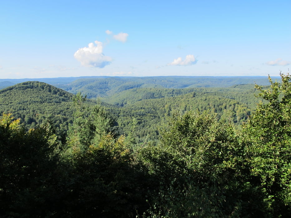
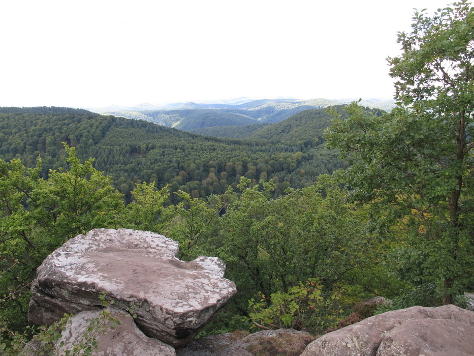
Vom Parkplatz an der Gaststätte "Zum Saupferch" zum Drachenkopf. Dort kann man auf 551m Höhe am Westfels die Aussicht über den Pfälzer Wald genießen. Die Wege sind gut begehbar und nicht asphaltiert. Fast nur Waldboden oder Forstwege. Im "Waldhaus Lambertskreuz" kann man einkehren.

Галерея маршрутов

Карта маршрута и высотный профиль

  • Open Street Map
  • Google
Minimum height 269 m Maximum height 567 m Детальный вид

More about the tour author

Hastati
Member since 2015

Send private message

Комментарии

GPS-Tracks

Trackpoints
  • GPX / Garmin Map Source (gpx) download
  • TCX / Garmin Training Center® (tcx) download
  • CRS / Garmin Training Center® (crs) download
  • Google Earth (kml) download
  • G7ToWin (g7t) download
  • TTQV (trk) download
  • Overlay (ovl) download
  • Fugawi (txt) download
  • Kompass (DAV) Track (tk) download
  • Формуляр маршрута (pdf) download
  • Original file of the author (gpx) download

More about the tour author

Hastati
Member since 2015

Send private message
Share track
Add to my favorites
Remove from my favorites
Edit tags
My score
Rate
Маршрут: Vom Saupferch zum Drachenkopf
Вид: Пешеходный туризм
Длина: 10,6 km
Evaluated on:
Длительность:
Day(s)
Hour(s)
Minute(s)
Оценка: Ландшафт Веселье Кондиция Техника