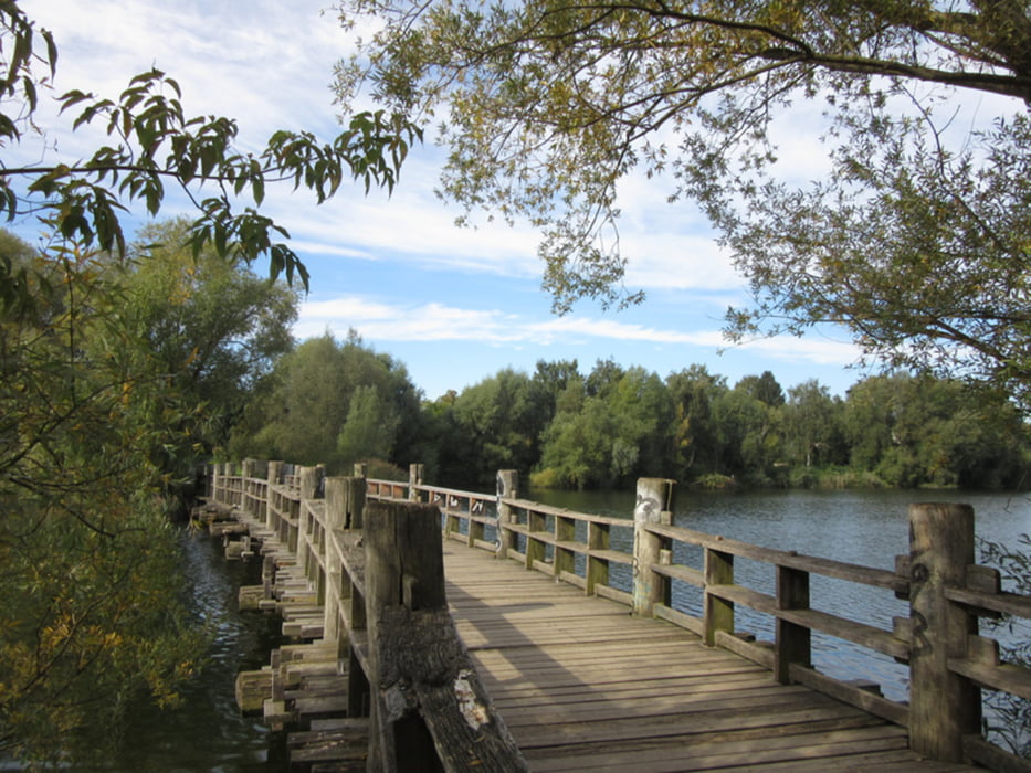
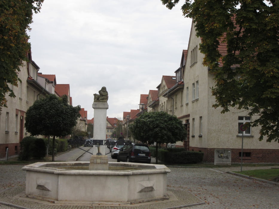
Vom Bahnhof Berlin-Spandau Richtung Westen bis zum Stadtrand, dann nach Norden bis Eiskeller, weiter Richtung Osten auf dem Grenzstreifen bis Nieder Neuendorf und wieder nordwärts bis zum Bahnhof Hennigsdorf.
Further information at
http://www.xxrhahn.de/touren/2017/spandau-hennigsdorf/index.htmlГалерея маршрутов
Карта маршрута и высотный профиль
Minimum height 23 m
Maximum height 44 m
Комментарии

S- oder Regionalbahn bis Berlin-Spandau
Rückzu mit der S-Bahn ab Hennigsdorf (alle 20 Min., Tarifzone C)
GPS-Tracks
Trackpoints-
GPX / Garmin Map Source (gpx) download
-
TCX / Garmin Training Center® (tcx) download
-
CRS / Garmin Training Center® (crs) download
-
Google Earth (kml) download
-
G7ToWin (g7t) download
-
TTQV (trk) download
-
Overlay (ovl) download
-
Fugawi (txt) download
-
Kompass (DAV) Track (tk) download
-
Формуляр маршрута (pdf) download
-
Original file of the author (gpx) download
Add to my favorites
Remove from my favorites
Edit tags
Open track
My score
Rate


