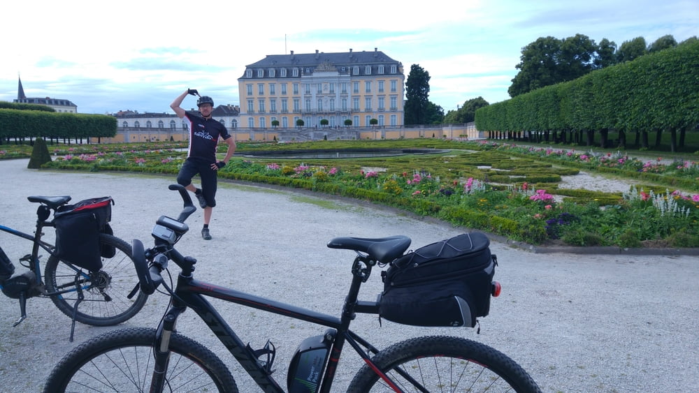
Halbtagestour am Rhein über Brühl und dann über breite Forstwege zurück. Viel Asphalt und Forstweg, ein kleiner matschiger Trail durch den Wald, einkehren in Brühl beim Griechen und Kuchen in Heimerzheim.
Nicht besonders anspruchsvoll, aber auch ganz nett.
Галерея маршрутов
Карта маршрута и высотный профиль
Minimum height 16 m
Maximum height 188 m
Комментарии

Wir sind am Platanenweg in Beuel gestartet und endeten am "Bonner Bogen". Parkplätze hier wie da reichlich.
GPS-Tracks
Trackpoints-
GPX / Garmin Map Source (gpx) download
-
TCX / Garmin Training Center® (tcx) download
-
CRS / Garmin Training Center® (crs) download
-
Google Earth (kml) download
-
G7ToWin (g7t) download
-
TTQV (trk) download
-
Overlay (ovl) download
-
Fugawi (txt) download
-
Kompass (DAV) Track (tk) download
-
Формуляр маршрута (pdf) download
-
Original file of the author (gpx) download
Add to my favorites
Remove from my favorites
Edit tags
Open track
My score
Rate


