Login

Забыл пароль?

Cookies have to be accepted!
Your browser's cookie functionality is disabled. Please enable this functionality.

Not a member yet?

Register now
Login

Available for registred users only

Log in to use this feature.

Забыл пароль?

Cookies have to be accepted!
Your browser's cookie functionality is disabled. Please enable this functionality.

Not a member yet?

Register now
Filter
Категории
Advanced filters
  • Длина (км)
  • Высотомер
Сохранить фильтр Reset filter

TrackRank

QRCode

Technical data

Длина48,1 km Высотомер1288 m Way down1274 m Длительность03:50 h:m Дата04.11.2017
Оценки Author Ландшафт Веселье Кондиция Техника

Статистика

165 Виды Оценки 22 Загрузки Среднее
Rate
  • Формуляр маршрута
  • Дорога
  • Загрузки
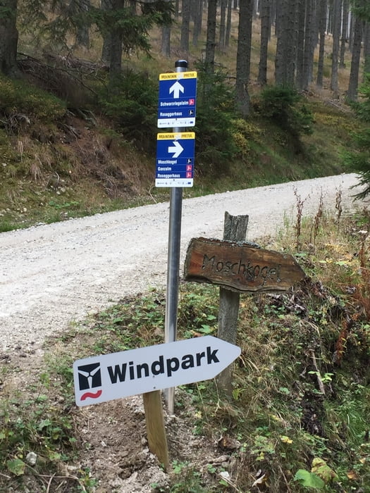
Von Mürzzuschlag nach Schöneben. Dann den Auersbachgraben auf den Morschkogel. Weiter auf die Amundsenhöhe und die Ganzalm. Vor der Alm geht die Abzweigung zur Friedrichshütte. Zurück über Spital am Semmering.

Галерея маршрутов

Карта маршрута и высотный профиль

  • Open Street Map
  • Google
Minimum height 659 m Maximum height 1652 m Детальный вид

More about the tour author

hochoertler
Member since 2012

Send private message

Комментарии

GPS-Tracks

Trackpoints
  • GPX / Garmin Map Source (gpx) download
  • TCX / Garmin Training Center® (tcx) download
  • CRS / Garmin Training Center® (crs) download
  • Google Earth (kml) download
  • G7ToWin (g7t) download
  • TTQV (trk) download
  • Overlay (ovl) download
  • Fugawi (txt) download
  • Kompass (DAV) Track (tk) download
  • Формуляр маршрута (pdf) download
  • Original file of the author (gpx) download

More about the tour author

hochoertler
Member since 2012

Send private message
Share track
Add to my favorites
Remove from my favorites
Edit tags
My score
Rate
Маршрут: Wind&Bike Pretul Teil 2
Вид: Горный велосипед
Длина: 48,1 km
Evaluated on:
Длительность:
Day(s)
Hour(s)
Minute(s)
Оценка: Ландшафт Веселье Кондиция Техника