Login

Забыл пароль?

Cookies have to be accepted!
Your browser's cookie functionality is disabled. Please enable this functionality.

Not a member yet?

Register now
Login

Available for registred users only

Log in to use this feature.

Забыл пароль?

Cookies have to be accepted!
Your browser's cookie functionality is disabled. Please enable this functionality.

Not a member yet?

Register now
Filter
Категории
Advanced filters
  • Длина (км)
  • Высотомер
Сохранить фильтр Reset filter

TrackRank

QRCode

Technical data

Длина53,6 km Высотомер1247 m Way down1252 m Длительность00:00 h:m Дата06.11.2017
Оценки Author Ландшафт Веселье Кондиция Техника

Статистика

570 Виды Оценки 214 Загрузки Среднее
Rate
  • Формуляр маршрута
  • Дорога
  • Загрузки

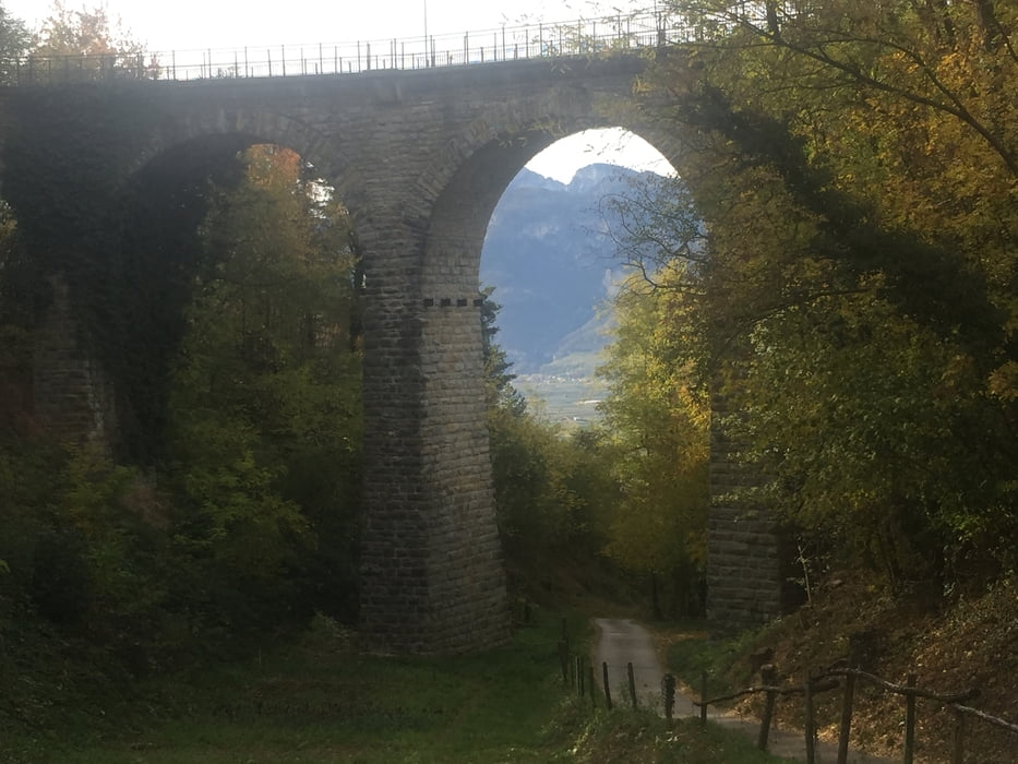
Start Auer und dann den Bahnweg, Richtung Montan, alte Fleimstalbahn bis Kaltenbrunn, Truden, steil hoch zur Cisloner Alm: super schön und tolles Panorma! Zurück bis Truden, Abfahrt auf linker Seite, Mühlen, hoch Gschnon, runter bis Glen, Egna> super Trails !!!

Галерея маршрутов

Карта маршрута и высотный профиль

  • Open Street Map
  • Google
Minimum height 222 m Maximum height 1263 m Детальный вид

More about the tour author

autocedric
Member since 2013

Send private message

Комментарии

GPS-Tracks

Trackpoints
  • GPX / Garmin Map Source (gpx) download
  • TCX / Garmin Training Center® (tcx) download
  • CRS / Garmin Training Center® (crs) download
  • Google Earth (kml) download
  • G7ToWin (g7t) download
  • TTQV (trk) download
  • Overlay (ovl) download
  • Fugawi (txt) download
  • Kompass (DAV) Track (tk) download
  • Формуляр маршрута (pdf) download
  • Original file of the author (gpx) download

More about the tour author

autocedric
Member since 2013

Send private message
Share track
Add to my favorites
Remove from my favorites
Edit tags
My score
Rate
Маршрут: Touren Kaltrer See: Cisloner Alm
Вид: Горный велосипед
Длина: 53,6 km
Evaluated on:
Длительность:
Day(s)
Hour(s)
Minute(s)
Оценка: Ландшафт Веселье Кондиция Техника