Login

Забыл пароль?

Cookies have to be accepted!
Your browser's cookie functionality is disabled. Please enable this functionality.

Not a member yet?

Register now
Login

Available for registred users only

Log in to use this feature.

Забыл пароль?

Cookies have to be accepted!
Your browser's cookie functionality is disabled. Please enable this functionality.

Not a member yet?

Register now
Filter
Категории
Advanced filters
  • Длина (км)
  • Высотомер
Сохранить фильтр Reset filter

TrackRank

QRCode

Technical data

Длина12,1 km Высотомер861 m Way down861 m Длительность00:00 h:m Дата04.12.2017
Оценки Author Ландшафт Веселье Кондиция Техника

Статистика

286 Виды Оценки 47 Загрузки Среднее
Rate
  • Формуляр маршрута
  • Дорога
  • Загрузки
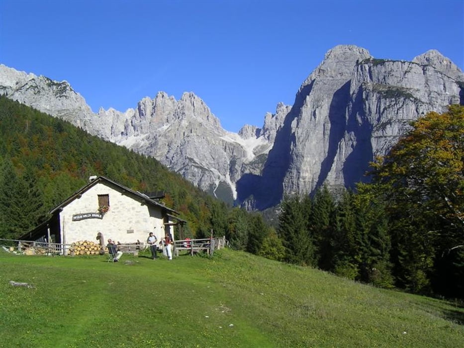
facile itinerario su sentieri e forestali prima risalendo la val delle Seghe fino al rif CrozAltissimo poi al rif Selvata e per la cengia Donini alla malga  e discesa a Molveno

Карта маршрута и высотный профиль

  • Open Street Map
  • Google
Minimum height 826 m Maximum height 1658 m Детальный вид

More about the tour author

bettoliroberto
Member since 2010

Send private message

Комментарии

GPS-Tracks

Trackpoints
  • GPX / Garmin Map Source (gpx) download
  • TCX / Garmin Training Center® (tcx) download
  • CRS / Garmin Training Center® (crs) download
  • Google Earth (kml) download
  • G7ToWin (g7t) download
  • TTQV (trk) download
  • Overlay (ovl) download
  • Fugawi (txt) download
  • Kompass (DAV) Track (tk) download
  • Формуляр маршрута (pdf) download
  • Original file of the author (gpx) download

More about the tour author

bettoliroberto
Member since 2010

Send private message
Share track
Add to my favorites
Remove from my favorites
Edit tags
My score
Rate
Маршрут: Anello Molveno Malga di Andalo
Вид: Горный маршрут
Длина: 12,1 km
Evaluated on:
Длительность:
Day(s)
Hour(s)
Minute(s)
Оценка: Ландшафт Веселье Кондиция Техника