Login

Забыл пароль?

Cookies have to be accepted!
Your browser's cookie functionality is disabled. Please enable this functionality.

Not a member yet?

Register now
Login

Available for registred users only

Log in to use this feature.

Забыл пароль?

Cookies have to be accepted!
Your browser's cookie functionality is disabled. Please enable this functionality.

Not a member yet?

Register now
Filter
Категории
Advanced filters
  • Длина (км)
  • Высотомер
Сохранить фильтр Reset filter

TrackRank

QRCode

Technical data

Длина2,3 km Высотомер95 m Way down95 m Длительность01:10 h:m Дата04.01.2018
Оценки Author Ландшафт Веселье Кондиция Техника

Статистика

185 Виды Оценки 24 Загрузки Среднее
Rate
  • Формуляр маршрута
  • Дорога
  • Загрузки

Bei herrlichem Wetter eine großartige kurze Wanderung um und zum Gipfel des Neunerköpfl.

An der Bergstation rechts ab auf gut erkennbarem Weg mit leichtem Auf und Ab.

Галерея маршрутов

Карта маршрута и высотный профиль

  • Open Street Map
  • Google
Minimum height 1761 m Maximum height 1838 m Детальный вид

More about the tour author

heinz-57
Member since 2009

Send private message

Комментарии

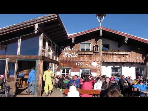
Im Tannheimer Tal geht es am östlichen Ortsrand mit der Gondelbahn zur Bergstation "Neuneröpfl".

GPS-Tracks

Trackpoints
  • GPX / Garmin Map Source (gpx) download
  • TCX / Garmin Training Center® (tcx) download
  • CRS / Garmin Training Center® (crs) download
  • Google Earth (kml) download
  • G7ToWin (g7t) download
  • TTQV (trk) download
  • Overlay (ovl) download
  • Fugawi (txt) download
  • Kompass (DAV) Track (tk) download
  • Формуляр маршрута (pdf) download
  • Original file of the author (gpx) download

More about the tour author

heinz-57
Member since 2009

Send private message
Share track
Add to my favorites
Remove from my favorites
Edit tags
My score
Rate
Маршрут: Wandern Tirol: Neunerköpfl bei Tannheim
Вид: Пешеходный туризм
Длина: 2,3 km
Evaluated on:
Длительность:
Day(s)
Hour(s)
Minute(s)
Оценка: Ландшафт Веселье Кондиция Техника