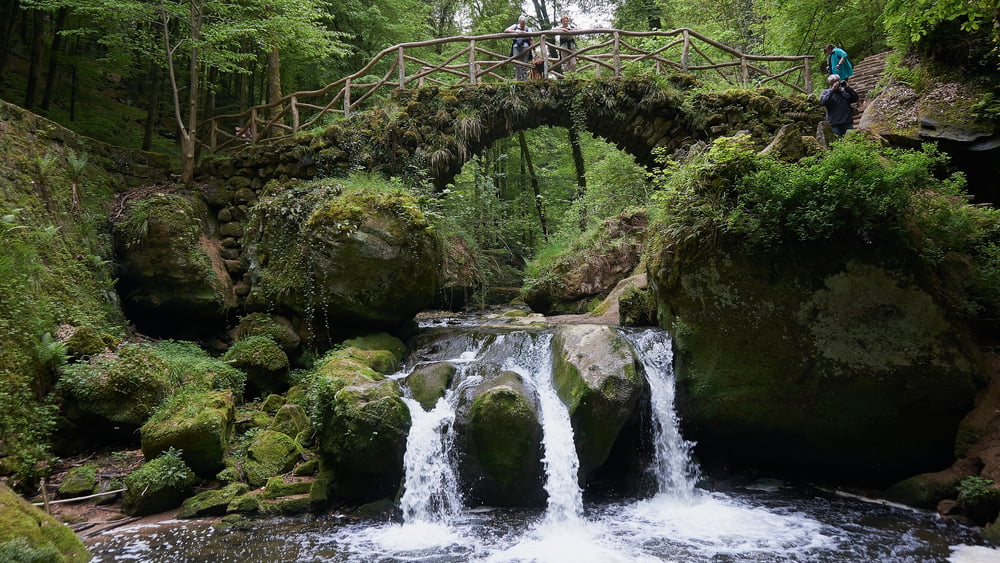
Dieser Weg führt durch die Felsenlandschaft und durch einigen spannende Höhlen. Abenteuerlich ab nichts für Schwergewichter oder Leute mit Platzangst. Beschreibung s. Website.
Further information at
http://www.sudowe.eu/index.php/renate-s-blog/berichte-2016/207-wanderung-von-altrier-nach-muellerthalГалерея маршрутов
Карта маршрута и высотный профиль
Minimum height 231 m
Maximum height 409 m
Комментарии

Start: N 49.75079 / E 6.32837
End: N 49.78945 / E 6.30499
End: N 49.78945 / E 6.30499
GPS-Tracks
Trackpoints-
GPX / Garmin Map Source (gpx) download
-
TCX / Garmin Training Center® (tcx) download
-
CRS / Garmin Training Center® (crs) download
-
Google Earth (kml) download
-
G7ToWin (g7t) download
-
TTQV (trk) download
-
Overlay (ovl) download
-
Fugawi (txt) download
-
Kompass (DAV) Track (tk) download
-
Формуляр маршрута (pdf) download
-
Original file of the author (gpx) download
Add to my favorites
Remove from my favorites
Edit tags
Open track
My score
Rate


