Login

Забыл пароль?

Cookies have to be accepted!
Your browser's cookie functionality is disabled. Please enable this functionality.

Not a member yet?

Register now
Login

Available for registred users only

Log in to use this feature.

Забыл пароль?

Cookies have to be accepted!
Your browser's cookie functionality is disabled. Please enable this functionality.

Not a member yet?

Register now
Filter
Категории
Advanced filters
  • Длина (км)
  • Высотомер
Сохранить фильтр Reset filter

TrackRank

QRCode

Technical data

Длина63,9 km Высотомер1093 m Way down1101 m Длительность04:49 h:m Дата13.05.2018
Оценки Author User Ландшафт Веселье Кондиция Техника

Статистика

502 Виды 1 Оценка 22 Загрузки 3.00 Среднее
Rate
  • Формуляр маршрута
  • Дорога
  • Загрузки
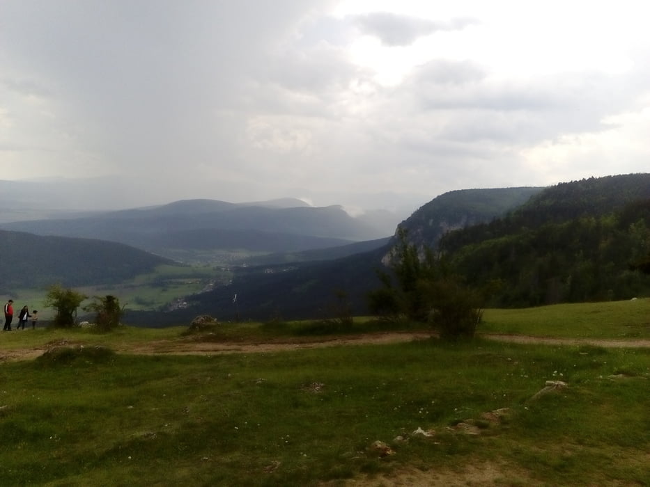
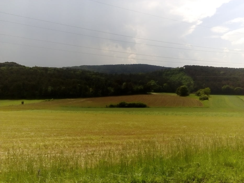
sehr schöne Runde, die mit dem Zug von Wien aus gut machbar ist.

Галерея маршрутов

Карта маршрута и высотный профиль

  • Open Street Map
  • Google
Minimum height 271 m Maximum height 1113 m Детальный вид

Комментарии

Jonas6x62 on 24.08.2020

Hohe Wand

Leider ist ein Teil der Stecke Radfahrverbot weil Forststraße. Ansonststen hätts eine perfekte Mischung von Asphalt, Schotter und Stein bzw Auf und Ab und Ebene.


Start und Ziel in Felixdorf am Bahnhof.

GPS-Tracks

Trackpoints
  • GPX / Garmin Map Source (gpx) download
  • TCX / Garmin Training Center® (tcx) download
  • CRS / Garmin Training Center® (crs) download
  • Google Earth (kml) download
  • G7ToWin (g7t) download
  • TTQV (trk) download
  • Overlay (ovl) download
  • Fugawi (txt) download
  • Kompass (DAV) Track (tk) download
  • Формуляр маршрута (pdf) download
  • Original file of the author (gpx) download
Share track
Add to my favorites
Remove from my favorites
Edit tags
My score
Rate
Маршрут: Hohe Wand 180510
Вид: Горный велосипед
Длина: 63,9 km
Evaluated on:
Длительность:
Day(s)
Hour(s)
Minute(s)
Оценка: Ландшафт Веселье Кондиция Техника