


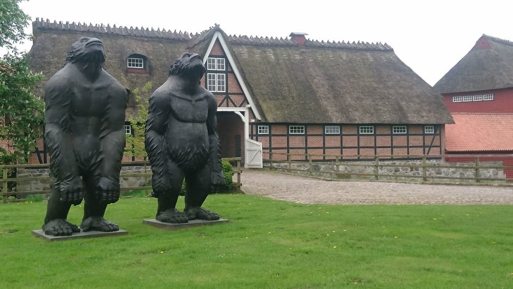
Die Tour beginnt am ZOB von Kappeln und führt dann auf der östlichen Schleiseite zur kleinen Fährstelle bei Arnis, welches ein sehenswerter Ort ist. Die Tour führt ausschließlich auf kleinen, manchmal auch mittleren Landstrassen nach Flensburg, alle Wege sind asphaltiert.
Галерея маршрутов
Карта маршрута и высотный профиль
Minimum height -6 m
Maximum height 74 m
More about the tour author

|
cce24 |
Комментарии

GPS-Tracks
Trackpoints-
GPX / Garmin Map Source (gpx) download
-
TCX / Garmin Training Center® (tcx) download
-
CRS / Garmin Training Center® (crs) download
-
Google Earth (kml) download
-
G7ToWin (g7t) download
-
TTQV (trk) download
-
Overlay (ovl) download
-
Fugawi (txt) download
-
Kompass (DAV) Track (tk) download
-
Формуляр маршрута (pdf) download
-
Original file of the author (gpx) download
More about the tour author
|
|
cce24 |
Add to my favorites
Remove from my favorites
Edit tags
Open track
My score
Rate