
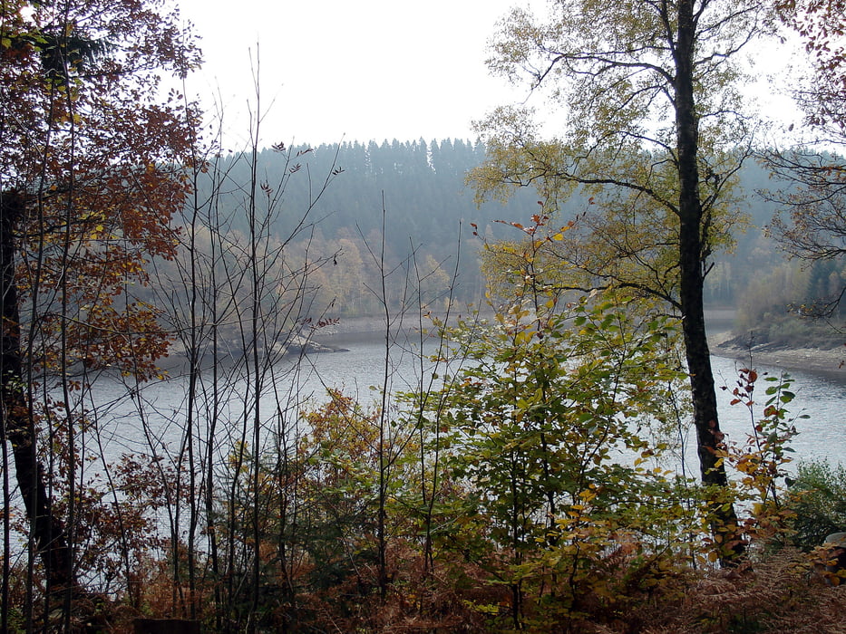


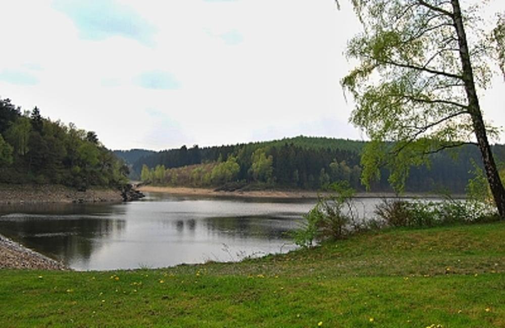
Ein schöner Wanderweg rund um die Kalltalsperre. Der Weg ist ein breiter Forstweg, entlang der Strecke stehen einige wenige Informationstafeln zur Kalltalsperre und zur Trinkwasserversorgung.
Da der Stausee ein Trinkwasserstausee ist, ist ein Betreten des Ufers nicht möglich. Auch bei Winterwetter eine wunderschöne Landschaft. Die Umrundung des Stausees ist etwa 5 km lang.
Further information at
http://der-eifelyeti.de/2018/05/16/um-die-kalltalsperre/Галерея маршрутов
Карта маршрута и высотный профиль
Minimum height 411 m
Maximum height 478 m
More about the tour author
|
|
Eifelyeti |
Комментарии

GPS-Tracks
Trackpoints-
GPX / Garmin Map Source (gpx) download
-
TCX / Garmin Training Center® (tcx) download
-
CRS / Garmin Training Center® (crs) download
-
Google Earth (kml) download
-
G7ToWin (g7t) download
-
TTQV (trk) download
-
Overlay (ovl) download
-
Fugawi (txt) download
-
Kompass (DAV) Track (tk) download
-
Формуляр маршрута (pdf) download
-
Original file of the author (gpx) download
More about the tour author
|
|
Eifelyeti |
Add to my favorites
Remove from my favorites
Edit tags
Open track
My score
Rate