
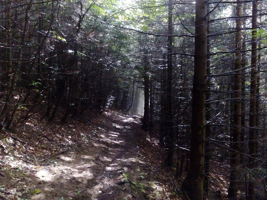

Eine ziemlich anstrengende Angelegenheit mit einigen Schiebepassagen nach dem Öhlerschutzhaus. Die single tracks haben es teilweise in sich! Es hat wieder gewittert, dh. es war eine dreckige Partie.
Галерея маршрутов


Карта маршрута и высотный профиль
Minimum height 279 m
Maximum height 1233 m
More about the tour author
|
|
mitter |
Комментарии

Start in Felixdorf am Bahnhof. Mit dem Zug von Wien an- und abgereist.
GPS-Tracks
Trackpoints-
GPX / Garmin Map Source (gpx) download
-
TCX / Garmin Training Center® (tcx) download
-
CRS / Garmin Training Center® (crs) download
-
Google Earth (kml) download
-
G7ToWin (g7t) download
-
TTQV (trk) download
-
Overlay (ovl) download
-
Fugawi (txt) download
-
Kompass (DAV) Track (tk) download
-
Формуляр маршрута (pdf) download
-
Original file of the author (gpx) download
More about the tour author
|
|
mitter |
Add to my favorites
Remove from my favorites
Edit tags
Open track
My score
Rate