


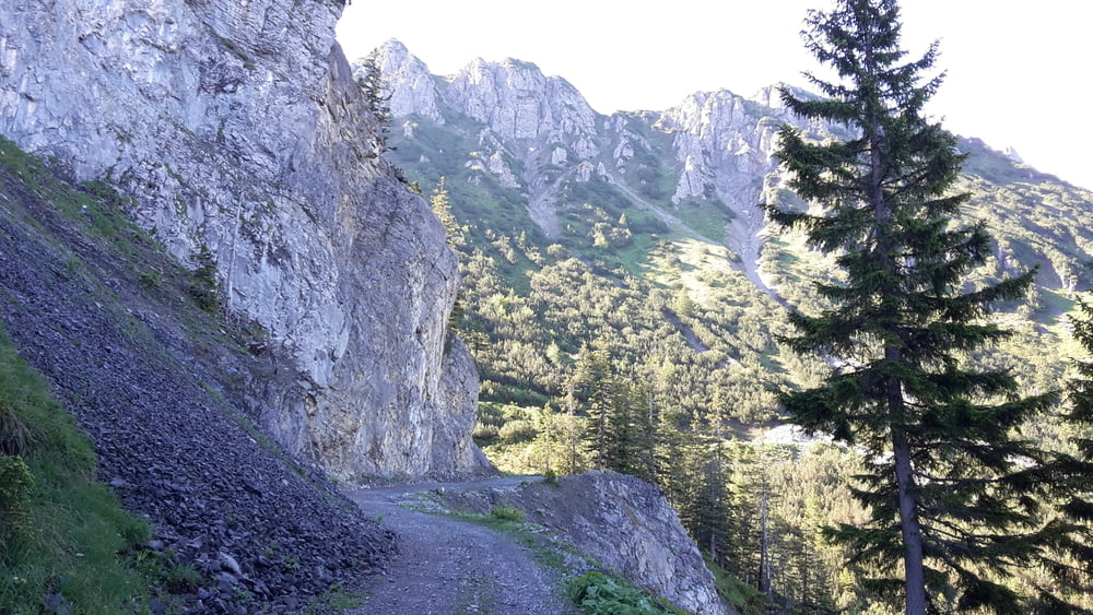
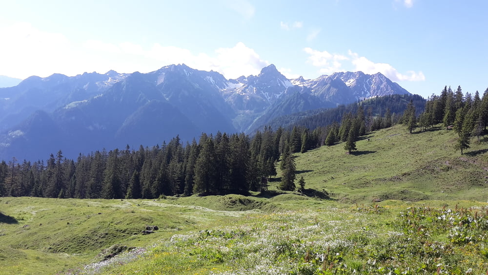
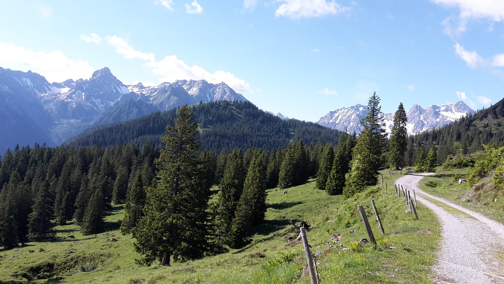
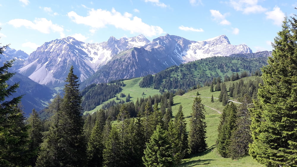
Rundtour mit Start und Ziel in Nenzing
Auffahrt von Nenzing zum Garselljoch ist von angnehmer Steigung, man sollte diese allerdings nicht unterschätzen da sie relativ lang ist.
Галерея маршрутов
Карта маршрута и высотный профиль
Minimum height 537 m
Maximum height 1770 m
More about the tour author
|
|
eder_m |
Комментарии

GPS-Tracks
Trackpoints-
GPX / Garmin Map Source (gpx) download
-
TCX / Garmin Training Center® (tcx) download
-
CRS / Garmin Training Center® (crs) download
-
Google Earth (kml) download
-
G7ToWin (g7t) download
-
TTQV (trk) download
-
Overlay (ovl) download
-
Fugawi (txt) download
-
Kompass (DAV) Track (tk) download
-
Формуляр маршрута (pdf) download
-
Original file of the author (gpx) download
More about the tour author
|
|
eder_m |
Add to my favorites
Remove from my favorites
Edit tags
Open track
My score
Rate