


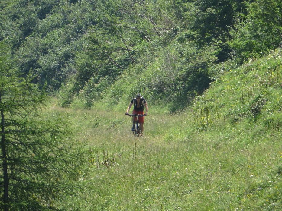
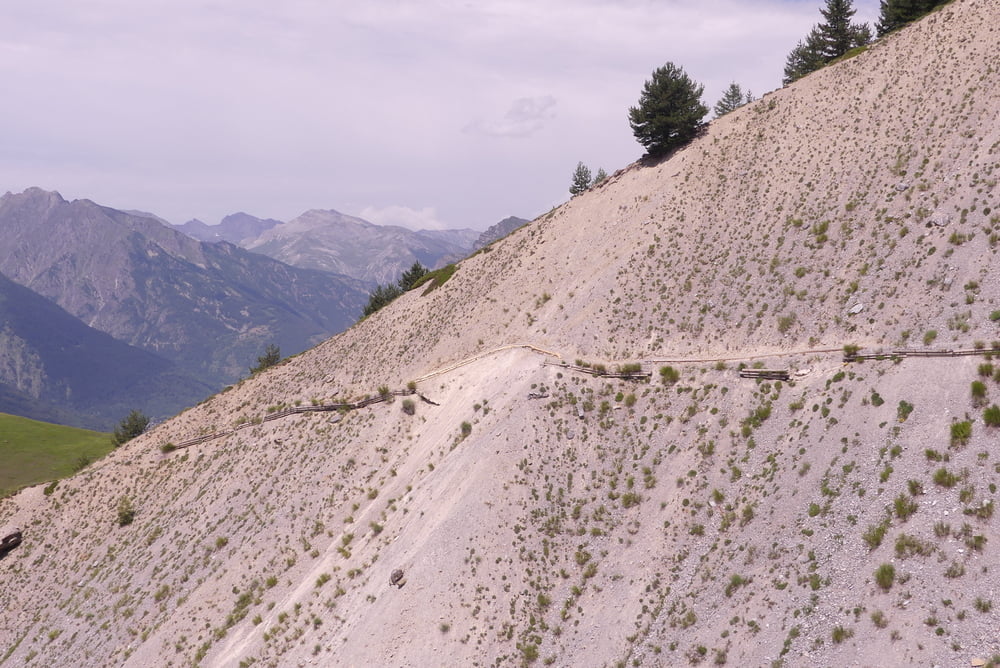
Von Cuneo ins Sturatal bis Sambuco. Von dort talauswärts auf Radweg bis Vinadio. Um die Festungsmauern herum auf angenehmer Straße zum Colle di Neraissa. Die Abfahrt quert teilweise steile Hänge, kann aber mit Vorsicht durchgehend befahren werden. Der Trail endet in einer kleinen Ortschaft. Von dort kann alternativ über die Straße zurück nach Samburco gefahren werden.
Галерея маршрутов
Карта маршрута и высотный профиль
Minimum height 854 m
Maximum height 2015 m
More about the tour author

|
Klaus112 |
Комментарии

Von Cuneo ins Sturatal bis Sambuco. Dort Parkmöglichkeit auf dem Dorfplatz oder am westlichen Dorfrand.
GPS-Tracks
Trackpoints-
GPX / Garmin Map Source (gpx) download
-
TCX / Garmin Training Center® (tcx) download
-
CRS / Garmin Training Center® (crs) download
-
Google Earth (kml) download
-
G7ToWin (g7t) download
-
TTQV (trk) download
-
Overlay (ovl) download
-
Fugawi (txt) download
-
Kompass (DAV) Track (tk) download
-
Формуляр маршрута (pdf) download
-
Original file of the author (gpx) download
More about the tour author
|
|
Klaus112 |
Add to my favorites
Remove from my favorites
Edit tags
Open track
My score
Rate