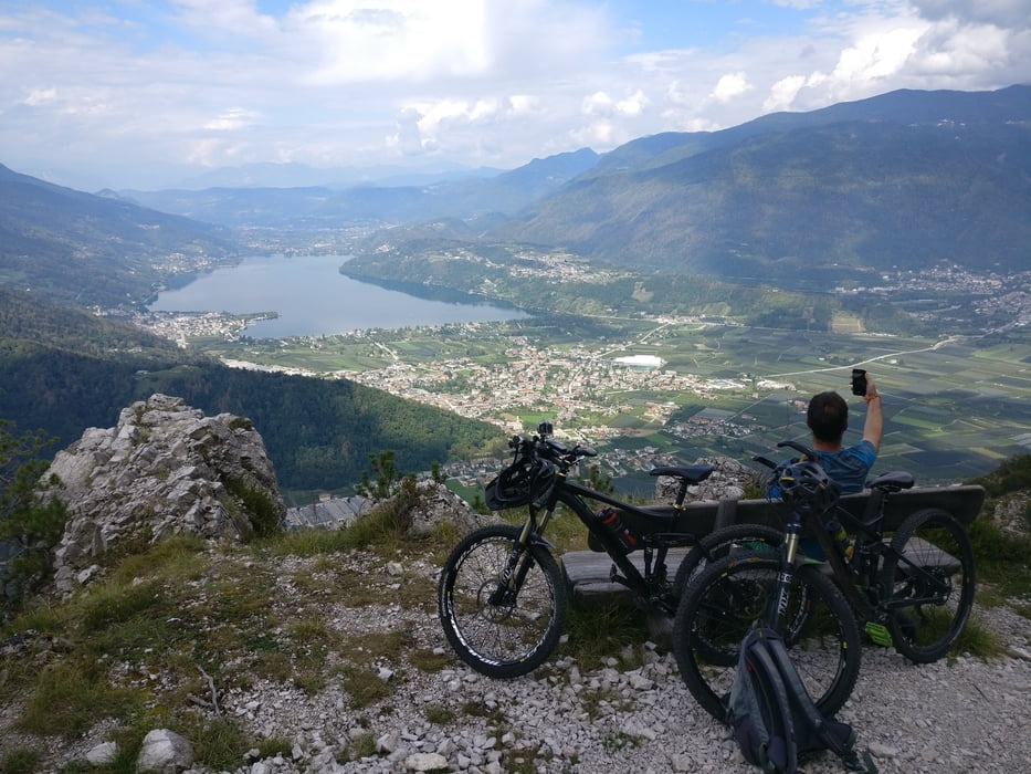
Start unseres Trailerlebnisses ist das Ende der Passstraße.
Bei Saghenaufi kommen wir an einem Bikepark vorbei, den wir natürlich kostenfrei mitgenommen haben (Siehe Video)
Schaut euch die Fotos und Videos an, somit brauche ich nichts näheres beschreiben.
Viel Spaß
Галерея маршрутов
Карта маршрута и высотный профиль
Minimum height 464 m
Maximum height 1366 m
Комментарии

GPS-Tracks
Trackpoints-
GPX / Garmin Map Source (gpx) download
-
TCX / Garmin Training Center® (tcx) download
-
CRS / Garmin Training Center® (crs) download
-
Google Earth (kml) download
-
G7ToWin (g7t) download
-
TTQV (trk) download
-
Overlay (ovl) download
-
Fugawi (txt) download
-
Kompass (DAV) Track (tk) download
-
Формуляр маршрута (pdf) download
-
Original file of the author (gpx) download
Add to my favorites
Remove from my favorites
Edit tags
Open track
My score
Rate


