


Near the parking place, there starts the trail to the Stouros flat.
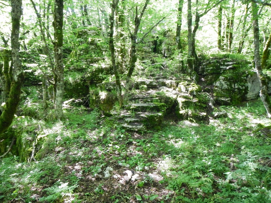
Sometimes the red trail marks are hard to find. If you don’t have a GPS with this track to follow the trail, be careful! There are some gaps in the rocks, and cliffs to the gorge.
From the start to point K1 the trail is signed. From K1 to the trail end, it is not signed.
After the trail end you follow a dust road 2.7km, and the last 900m the paved road.
Галерея маршрутов
Карта маршрута и высотный профиль
Minimum height 1296 m
Maximum height 1495 m
More about the tour author

|
Mapdekode |
Комментарии

Drive to the parking place from Oxia (viewing point for the Vikos gorge).
GPS-Tracks
Trackpoints-
GPX / Garmin Map Source (gpx) download
-
TCX / Garmin Training Center® (tcx) download
-
CRS / Garmin Training Center® (crs) download
-
Google Earth (kml) download
-
G7ToWin (g7t) download
-
TTQV (trk) download
-
Overlay (ovl) download
-
Fugawi (txt) download
-
Kompass (DAV) Track (tk) download
-
Формуляр маршрута (pdf) download
-
Original file of the author (gpx) download
More about the tour author
|
|
Mapdekode |
Add to my favorites
Remove from my favorites
Edit tags
Open track
My score
Rate