


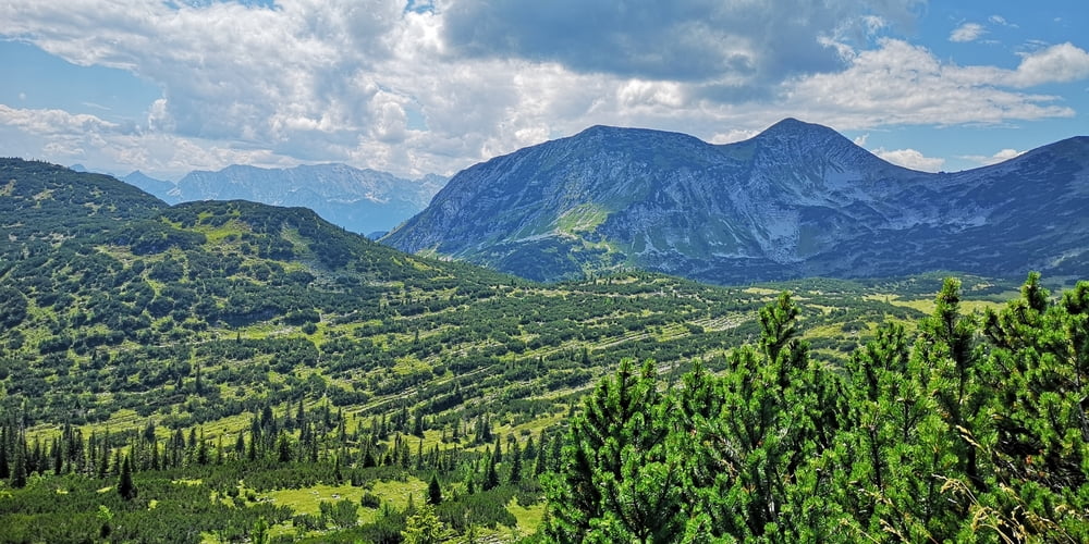
Wie https://www.gps-tour.info/de/touren/detail.152689.html aber hier Kombiniert mit Bergwanderung auf Hohe Kiste.
Zuerst mit dem MTB bis zur Kuhalm fahren (2:30h bis 3h ) und dann zu Fuß auf die Hohe Kiste (hin und zurück ca. 1h an Kuhalm). Von Kuhalm zurück dann über Wildsee und Eschenlainetal.
Achtung: Ab Wildsee muss das Fahrrad für ca. 45 Minuten geschoben werden über „Stock und Stein“.
Wer nicht schieben will kann natürlich auch wieder die Forststraße hinunter nach Eschenlohe fahren. Man verpasst dann allerdings das schöne Eschenlainetal - es lont sich!
Галерея маршрутов


Карта маршрута и высотный профиль
Minimum height 640 m
Maximum height 1923 m
More about the tour author
|
|
JoachimDief |
Комментарии

Ausgangspunk ist ein Parkplatz bei einem Holzsammelplatz am Ortsrand Eschenlohe. Vom Rahthaus aus den Mühlbach überqueren und dann die Krottenkopfstraße nehmen. Später biegt die Krottenkopfstraße nach links ab. Der Parkplatz ist aber geradeaus. Ab da heißt die Straße Schellenbergstraße.
GPS-Tracks
Trackpoints-
GPX / Garmin Map Source (gpx) download
-
TCX / Garmin Training Center® (tcx) download
-
CRS / Garmin Training Center® (crs) download
-
Google Earth (kml) download
-
G7ToWin (g7t) download
-
TTQV (trk) download
-
Overlay (ovl) download
-
Fugawi (txt) download
-
Kompass (DAV) Track (tk) download
-
Формуляр маршрута (pdf) download
-
Original file of the author (gpx) download
More about the tour author
|
|
JoachimDief |
Add to my favorites
Remove from my favorites
Edit tags
Open track
My score
Rate