Login

Забыл пароль?

Cookies have to be accepted!
Your browser's cookie functionality is disabled. Please enable this functionality.

Not a member yet?

Register now
Login

Available for registred users only

Log in to use this feature.

Забыл пароль?

Cookies have to be accepted!
Your browser's cookie functionality is disabled. Please enable this functionality.

Not a member yet?

Register now
Filter
Категории
Advanced filters
  • Длина (км)
  • Высотомер
Сохранить фильтр Reset filter

TrackRank

QRCode

Technical data

Длина18,0 km Высотомер401 m Way down390 m Длительность04:30 h:m Дата19.05.2019
Оценки Author Ландшафт Веселье Кондиция Техника

Статистика

263 Виды Оценки 12 Загрузки Среднее
Rate
  • Формуляр маршрута
  • Дорога
  • Загрузки
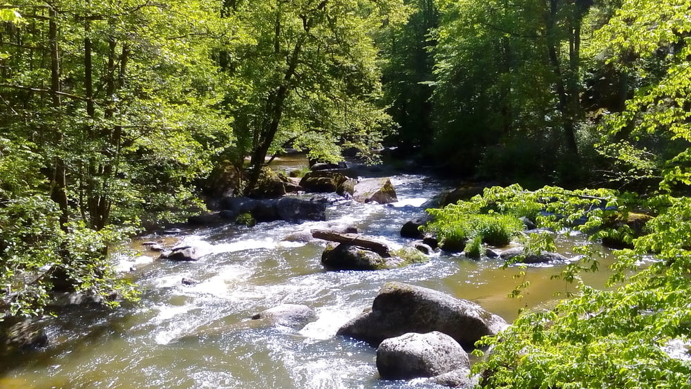
Eine wunderbare Runde entlang der Aist. Beim Greisingerhof sehr gut gegessen (Voranmeldung notwendig, weil die normalerweise wohl nur für die Hausgäste kochen).

Галерея маршрутов

Карта маршрута и высотный профиль

  • Open Street Map
  • Google
Minimum height 305 m Maximum height 442 m Детальный вид

Комментарии

Start in Pregarten bei der Kirche.

GPS-Tracks

Trackpoints
  • GPX / Garmin Map Source (gpx) download
  • TCX / Garmin Training Center® (tcx) download
  • CRS / Garmin Training Center® (crs) download
  • Google Earth (kml) download
  • G7ToWin (g7t) download
  • TTQV (trk) download
  • Overlay (ovl) download
  • Fugawi (txt) download
  • Kompass (DAV) Track (tk) download
  • Формуляр маршрута (pdf) download
  • Original file of the author (gpx) download
Share track
Add to my favorites
Remove from my favorites
Edit tags
My score
Rate
Маршрут: Pregarten-Greisinghof und retour 190518
Вид: Пешеходный туризм
Длина: 18,0 km
Evaluated on:
Длительность:
Day(s)
Hour(s)
Minute(s)
Оценка: Ландшафт Веселье Кондиция Техника