Login

Забыл пароль?

Cookies have to be accepted!
Your browser's cookie functionality is disabled. Please enable this functionality.

Not a member yet?

Register now
Login

Available for registred users only

Log in to use this feature.

Забыл пароль?

Cookies have to be accepted!
Your browser's cookie functionality is disabled. Please enable this functionality.

Not a member yet?

Register now
Filter
Категории
Advanced filters
  • Длина (км)
  • Высотомер
Сохранить фильтр Reset filter

TrackRank

QRCode

Technical data

Длина27,6 km Высотомер492 m Way down478 m Длительность02:00 h:m Дата03.06.2019
Оценки Author Ландшафт Веселье Кондиция Техника

Статистика

145 Виды Оценки 28 Загрузки Среднее
Rate
  • Формуляр маршрута
  • Дорога
  • Загрузки

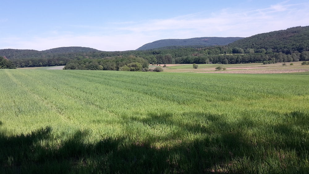
Schöner Rundweg durch Wald und Feld um Hohenahr.

Der Weg führt durch herrliche Waldgebiete über Forstwege, leicht Trails und wenig alsphaltierte Wege.

Further information at

http://www.lahn-dill-bergland.de

Галерея маршрутов

Карта маршрута и высотный профиль

  • Open Street Map
  • Google
Minimum height 226 m Maximum height 390 m Детальный вид

More about the tour author

Arno Brueck
Member since 2007

Send private message

Комментарии

Start und Ziel ist am Friedhof in Erda

GPS-Tracks

Trackpoints
  • GPX / Garmin Map Source (gpx) download
  • TCX / Garmin Training Center® (tcx) download
  • CRS / Garmin Training Center® (crs) download
  • Google Earth (kml) download
  • G7ToWin (g7t) download
  • TTQV (trk) download
  • Overlay (ovl) download
  • Fugawi (txt) download
  • Kompass (DAV) Track (tk) download
  • Формуляр маршрута (pdf) download
  • Original file of the author (gpx) download

More about the tour author

Arno Brueck
Member since 2007

Send private message
Share track
Add to my favorites
Remove from my favorites
Edit tags
My score
Rate
Маршрут: Erda-Weipoltshausen-Wilsbach-Mudersbach-Erda
Вид: Горный велосипед
Длина: 27,6 km
Evaluated on:
Длительность:
Day(s)
Hour(s)
Minute(s)
Оценка: Ландшафт Веселье Кондиция Техника