Login

Забыл пароль?

Cookies have to be accepted!
Your browser's cookie functionality is disabled. Please enable this functionality.

Not a member yet?

Register now
Login

Available for registred users only

Log in to use this feature.

Забыл пароль?

Cookies have to be accepted!
Your browser's cookie functionality is disabled. Please enable this functionality.

Not a member yet?

Register now
Filter
Категории
Advanced filters
  • Длина (км)
  • Высотомер
Сохранить фильтр Reset filter

TrackRank

QRCode

Technical data

Длина13,5 km Высотомер413 m Way down412 m Длительность02:58 h:m Дата16.06.2019
Оценки Author Ландшафт Веселье Кондиция Техника

Статистика

178 Виды Оценки 3 Загрузки Среднее
Rate
  • Формуляр маршрута
  • Дорога
  • Загрузки
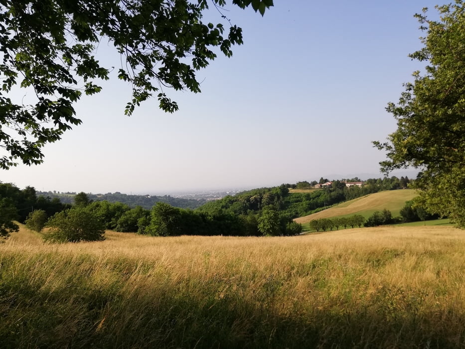
Marcia impegnativa ma altrettanto remunerativa. Ottimo percorso collinare sulla pedemontana vicentina specialmente sui sentieri nel sottobosco. Bella giornata  di metà giugno.

Further information at

http://www.comune.carre.vi.it/hh/index.php?jvs=0&acc=1

Галерея маршрутов

Карта маршрута и высотный профиль

  • Open Street Map
  • Google
Minimum height 229 m Maximum height 414 m Детальный вид

More about the tour author

agosflavio
Member since 2013

Send private message

Комментарии

GPS-Tracks

Trackpoints
  • GPX / Garmin Map Source (gpx) download
  • TCX / Garmin Training Center® (tcx) download
  • CRS / Garmin Training Center® (crs) download
  • Google Earth (kml) download
  • G7ToWin (g7t) download
  • TTQV (trk) download
  • Overlay (ovl) download
  • Fugawi (txt) download
  • Kompass (DAV) Track (tk) download
  • Формуляр маршрута (pdf) download
  • Original file of the author (gpx) download

More about the tour author

agosflavio
Member since 2013

Send private message
Share track
Add to my favorites
Remove from my favorites
Edit tags
My score
Rate
Маршрут: Passeggiata panoramica di Carrè (Vl) 2019
Вид: Горный маршрут
Длина: 13,5 km
Evaluated on:
Длительность:
Day(s)
Hour(s)
Minute(s)
Оценка: Ландшафт Веселье Кондиция Техника