Login

Забыл пароль?

Cookies have to be accepted!
Your browser's cookie functionality is disabled. Please enable this functionality.

Not a member yet?

Register now
Login

Available for registred users only

Log in to use this feature.

Забыл пароль?

Cookies have to be accepted!
Your browser's cookie functionality is disabled. Please enable this functionality.

Not a member yet?

Register now
Filter
Категории
Advanced filters
  • Длина (км)
  • Высотомер
Сохранить фильтр Reset filter

TrackRank

QRCode

Technical data

Длина25,5 km Высотомер503 m Way down517 m Длительность00:00 h:m Дата21.06.2019
Оценки Author Ландшафт Веселье Кондиция Техника

Статистика

112 Виды Оценки 3 Загрузки Среднее
Rate
  • Формуляр маршрута
  • Дорога
  • Загрузки
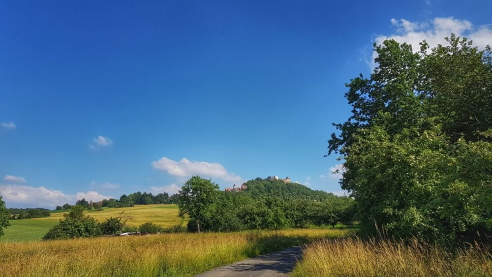
Heute mal den Sommerweg nach Umstadt getestet. Nicht zu Empfehlen, ist ziemlich zugewuchert. Viel Brennesseln und Dornen. Regen und Sonne läßt alles gut wachsen. Von Umstadt dann rüber nach Lengfeld und hoch zum Otzberg nach Hering. Von hier dann hinunter nach Ober-Nauses und dann Heim. #noebike

Галерея маршрутов

Карта маршрута и высотный профиль

  • Open Street Map
  • Google
Minimum height 167 m Maximum height 338 m Детальный вид

More about the tour author

mh021255
Member since 2009

Send private message

Комментарии

GPS-Tracks

Trackpoints
  • GPX / Garmin Map Source (gpx) download
  • TCX / Garmin Training Center® (tcx) download
  • CRS / Garmin Training Center® (crs) download
  • Google Earth (kml) download
  • G7ToWin (g7t) download
  • TTQV (trk) download
  • Overlay (ovl) download
  • Fugawi (txt) download
  • Kompass (DAV) Track (tk) download
  • Формуляр маршрута (pdf) download
  • Original file of the author (gpx) download

More about the tour author

mh021255
Member since 2009

Send private message
Share track
Add to my favorites
Remove from my favorites
Edit tags
My score
Rate
Маршрут: Lengfeld und der Otzberg
Вид: Горный велосипед
Длина: 25,5 km
Evaluated on:
Длительность:
Day(s)
Hour(s)
Minute(s)
Оценка: Ландшафт Веселье Кондиция Техника