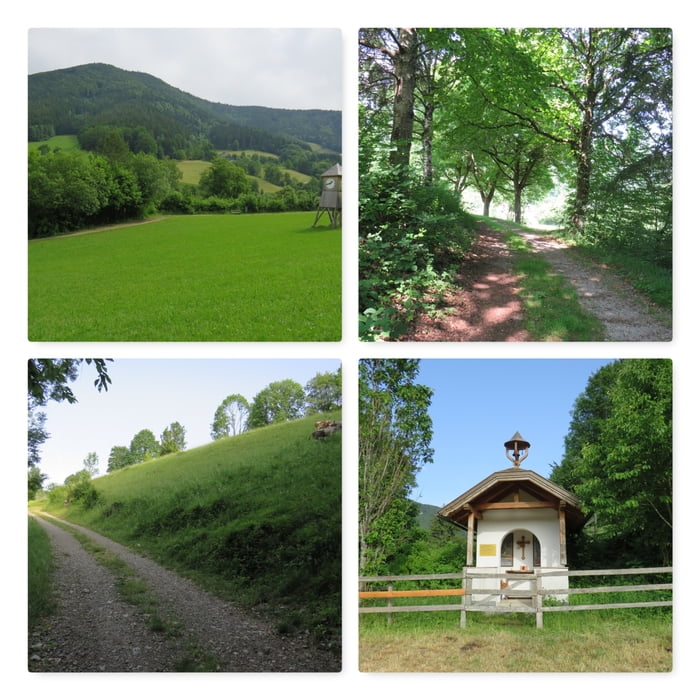
Der Kurwanderg startet entweder rechts oder links vom Hotel. Ganz egal wo man startet mündet dieser Beginn auf einer Forststraße die zur Weide der Kühe führt.
Nach der Weide führt der gut beschilderte Weg in den Wald und steigt dort an bis zur nächsten Forststraße.
Dieser folgt man linkerhand bergab und anschließend der Landstraße nach links wieder zurück zum Kurhotel.
Further information at
https://www.optimamed-salzerbad.at/Карта маршрута и высотный профиль
Minimum height 359 m
Maximum height 508 m
Комментарии

Parkplatz Kur-Hotel Salzerbad: N47° 59' 13.9" E15° 45' 06.4"
GPS-Tracks
Trackpoints-
GPX / Garmin Map Source (gpx) download
-
TCX / Garmin Training Center® (tcx) download
-
CRS / Garmin Training Center® (crs) download
-
Google Earth (kml) download
-
G7ToWin (g7t) download
-
TTQV (trk) download
-
Overlay (ovl) download
-
Fugawi (txt) download
-
Kompass (DAV) Track (tk) download
-
Формуляр маршрута (pdf) download
-
Original file of the author (gpx) download
Add to my favorites
Remove from my favorites
Edit tags
Open track
My score
Rate

