Login

Забыл пароль?

Cookies have to be accepted!
Your browser's cookie functionality is disabled. Please enable this functionality.

Not a member yet?

Register now
Login

Available for registred users only

Log in to use this feature.

Забыл пароль?

Cookies have to be accepted!
Your browser's cookie functionality is disabled. Please enable this functionality.

Not a member yet?

Register now
Filter
Категории
Advanced filters
  • Длина (км)
  • Высотомер
Сохранить фильтр Reset filter

TrackRank

QRCode

Technical data

Длина17,9 km Высотомер559 m Way down616 m Длительность00:00 h:m Дата23.06.2019
Оценки Author Ландшафт Веселье Кондиция Техника

Статистика

378 Виды Оценки 25 Загрузки Среднее
Rate
  • Формуляр маршрута
  • Дорога
  • Загрузки
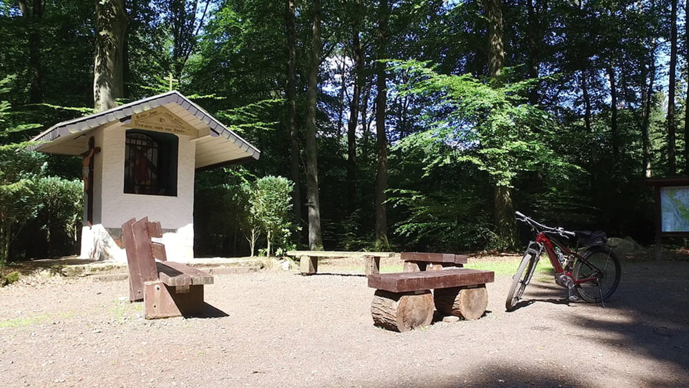
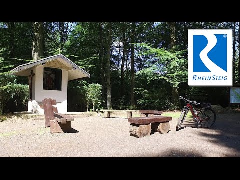
Die ersten Kilometer sind noch sehr waldreich. Danach geht man abwechselnd über Freiflächen und durch Wald. Highlights dieser Etappe sind sicherlich die Aussichten vom Stux, von der Erpeler Ley und von Burg Ockenfels, die allerdings in Privat Besitz ist und nicht Besichtig werden kann.

Галерея маршрутов

Карта маршрута и высотный профиль

  • Open Street Map
  • Google
Minimum height 67 m Maximum height 311 m Детальный вид

More about the tour author

schleidy
Member since 2013

Send private message

Комментарии

GPS-Tracks

Trackpoints
  • GPX / Garmin Map Source (gpx) download
  • TCX / Garmin Training Center® (tcx) download
  • CRS / Garmin Training Center® (crs) download
  • Google Earth (kml) download
  • G7ToWin (g7t) download
  • TTQV (trk) download
  • Overlay (ovl) download
  • Fugawi (txt) download
  • Kompass (DAV) Track (tk) download
  • Формуляр маршрута (pdf) download
  • Original file of the author (gpx) download

More about the tour author

schleidy
Member since 2013

Send private message
Share track
Add to my favorites
Remove from my favorites
Edit tags
My score
Rate
Маршрут: 3. Etappe Rheinsteig: Bad Honnef - Linz
Вид: Пешеходный туризм
Длина: 17,9 km
Evaluated on:
Длительность:
Day(s)
Hour(s)
Minute(s)
Оценка: Ландшафт Веселье Кондиция Техника