Login

Забыл пароль?

Cookies have to be accepted!
Your browser's cookie functionality is disabled. Please enable this functionality.

Not a member yet?

Register now
Login

Available for registred users only

Log in to use this feature.

Забыл пароль?

Cookies have to be accepted!
Your browser's cookie functionality is disabled. Please enable this functionality.

Not a member yet?

Register now
Filter
Категории
Advanced filters
  • Длина (км)
  • Высотомер
Сохранить фильтр Reset filter

TrackRank

QRCode

Technical data

Длина22,0 km Высотомер764 m Way down759 m Длительность00:00 h:m Дата05.08.2019
Оценки Author Ландшафт Веселье Кондиция Техника

Статистика

204 Виды Оценки 8 Загрузки Среднее
Rate
  • Формуляр маршрута
  • Дорога
  • Загрузки
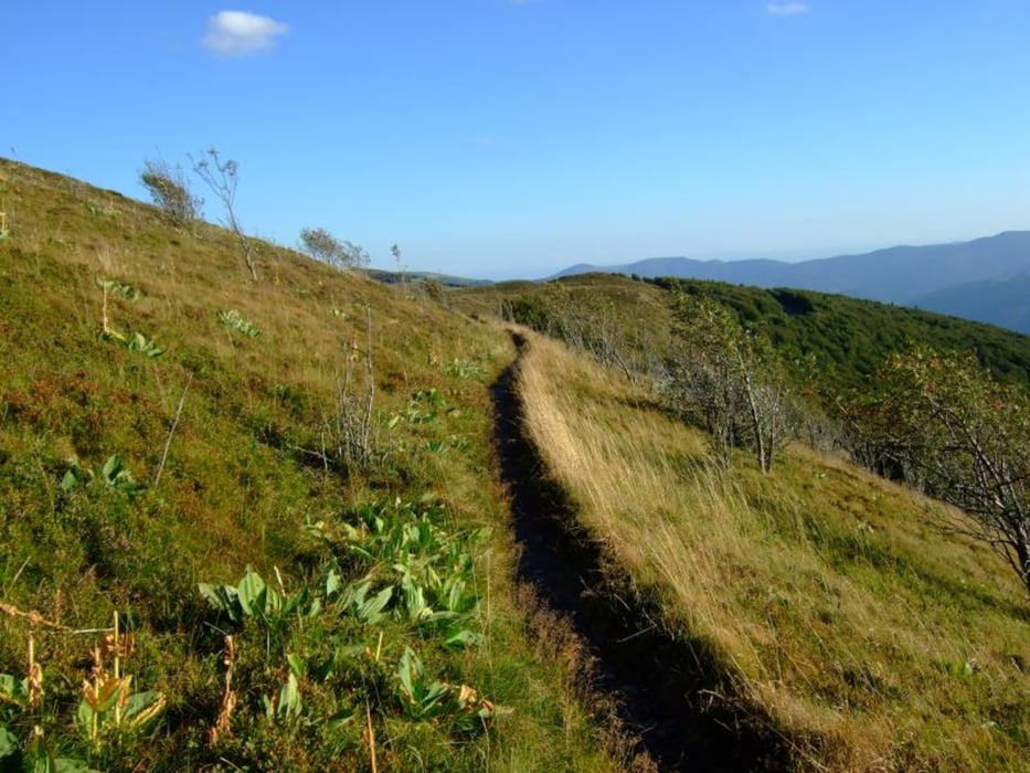
Schöne Wanderung ;-)))))))))))))))))))

Галерея маршрутов

Карта маршрута и высотный профиль

  • Open Street Map
  • Google
Minimum height 993 m Maximum height 1315 m Детальный вид

Комментарии

Der Startpunkt der Tour kann auch als Anreisepunkt gewählt werden.

Hier gibt es ca für 6 Autos kostenlose Parkplätze

GPS-Tracks

Trackpoints
  • GPX / Garmin Map Source (gpx) download
  • TCX / Garmin Training Center® (tcx) download
  • CRS / Garmin Training Center® (crs) download
  • Google Earth (kml) download
  • G7ToWin (g7t) download
  • TTQV (trk) download
  • Overlay (ovl) download
  • Fugawi (txt) download
  • Kompass (DAV) Track (tk) download
  • Формуляр маршрута (pdf) download
  • Original file of the author (gpx) download
Share track
Add to my favorites
Remove from my favorites
Edit tags
My score
Rate
Маршрут: 102. Route des Crêtes, Col du Neurod, Steinwasen, Col Du Rothenbach, Rothenbachkopf, Rainkopf, Lac de la Lande, Lac de Blanchemer, Batteriekopf
Вид: Пешеходный туризм
Длина: 22,0 km
Evaluated on:
Длительность:
Day(s)
Hour(s)
Minute(s)
Оценка: Ландшафт Веселье Кондиция Техника