Login

Забыл пароль?

Cookies have to be accepted!
Your browser's cookie functionality is disabled. Please enable this functionality.

Not a member yet?

Register now
Login

Available for registred users only

Log in to use this feature.

Забыл пароль?

Cookies have to be accepted!
Your browser's cookie functionality is disabled. Please enable this functionality.

Not a member yet?

Register now
Filter
Категории
Advanced filters
  • Длина (км)
  • Высотомер
Сохранить фильтр Reset filter

TrackRank

QRCode

Technical data

Длина15,5 km Высотомер187 m Way down198 m Длительность03:49 h:m Дата05.08.2019
Оценки Author Ландшафт Веселье Кондиция Техника

Статистика

113 Виды Оценки 10 Загрузки Среднее
Rate
  • Формуляр маршрута
  • Дорога
  • Загрузки
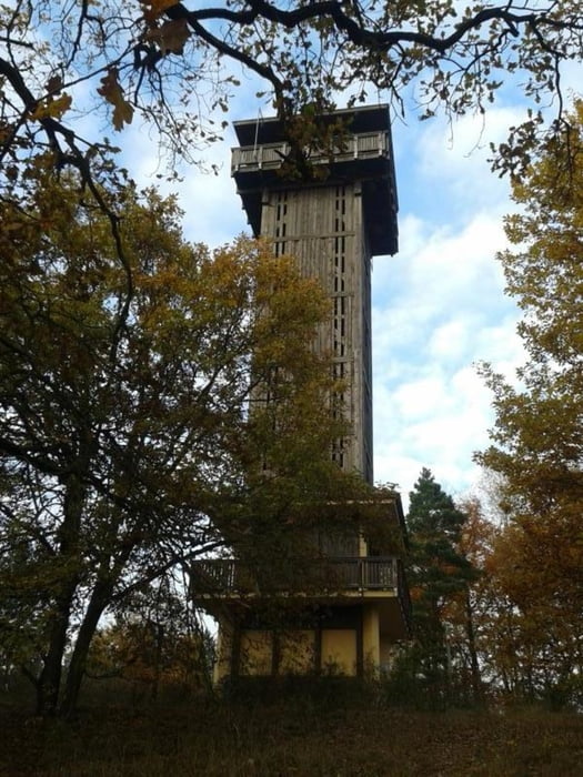
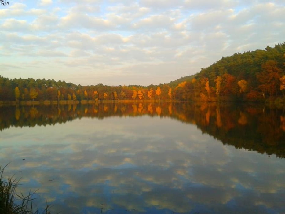
Von Köthen, von einem (2016) kostenlosen Parkplatz geht es an mehrere Seen vorbei zu dieser Wandertour.

Галерея маршрутов

Карта маршрута и высотный профиль

  • Open Street Map
  • Google
Minimum height 42 m Maximum height 160 m Детальный вид

Комментарии

Der Startpunkt der Tour kann auch als Anreisepunkt gewählt werden.

In Köthen, in der Dorfstraße gibt es ein paar kostenlose Parkplätze

GPS-Tracks

Trackpoints
  • GPX / Garmin Map Source (gpx) download
  • TCX / Garmin Training Center® (tcx) download
  • CRS / Garmin Training Center® (crs) download
  • Google Earth (kml) download
  • G7ToWin (g7t) download
  • TTQV (trk) download
  • Overlay (ovl) download
  • Fugawi (txt) download
  • Kompass (DAV) Track (tk) download
  • Формуляр маршрута (pdf) download
  • Original file of the author (gpx) download
Share track
Add to my favorites
Remove from my favorites
Edit tags
My score
Rate
Маршрут: 124. Köthen mit Aussichtsturm Wehlaberg und deren Berge und Seen drum herum ;-))
Вид: Пешеходный туризм
Длина: 15,5 km
Evaluated on:
Длительность:
Day(s)
Hour(s)
Minute(s)
Оценка: Ландшафт Веселье Кондиция Техника