

Wir wandern direkt von Igls nahe der Kirche los. Der Weg geht am Waldesrand, am Golfplatz vorbei an die neue Talstation der Patscherkofelbahn.
Rechts der Bahn geht der Weg anfangs auf Forststrassen hoch bis Heiligenwasser.
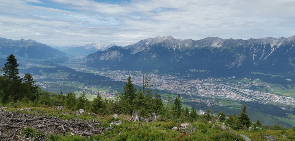
Nun bis zur Sistranser Alm auf 1600 meter, sehr schön!
Jetzt führt uns der Track etwas abwärts bis zu einer schönen Einkehrhütte, der Aldranser Alm! Super!
Zurück und jetzt aber richtig ins Gelände und hoch zum Issboden, ca 1900 meter üM
Grünbichl, 2000 meter üM , und zum Ziel , der Bergstation der Bahn, Herrlich!
Von hier kann man noch ca 50 weitere minuten zur Gipfelhütte auf ca 2240meterüM!
Галерея маршрутов


Карта маршрута и высотный профиль
Minimum height 884 m
Maximum height 2023 m
More about the tour author
|
|
urgesimi |
Комментарии

GPS-Tracks
Trackpoints-
GPX / Garmin Map Source (gpx) download
-
TCX / Garmin Training Center® (tcx) download
-
CRS / Garmin Training Center® (crs) download
-
Google Earth (kml) download
-
G7ToWin (g7t) download
-
TTQV (trk) download
-
Overlay (ovl) download
-
Fugawi (txt) download
-
Kompass (DAV) Track (tk) download
-
Формуляр маршрута (pdf) download
-
Original file of the author (gpx) download
More about the tour author
|
|
urgesimi |
Add to my favorites
Remove from my favorites
Edit tags
Open track
My score
Rate